Selam, Champhai
| Selam | |
|---|---|
| village | |
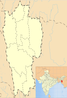 Selam  Selam Location in Mizoram, India | |
| Coordinates: 23°48′12″N 93°17′30″E / 23.8034409°N 93.2916906°ECoordinates: 23°48′12″N 93°17′30″E / 23.8034409°N 93.2916906°E | |
| Country | India |
| State | Mizoram |
| District | Champhai |
| Block | Ngopa |
| Elevation | 1,062 m (3,484 ft) |
| Population (2011) | |
| • Total | 1,017 |
| Time zone | IST (UTC+5:30) |
| 2011 census code | 271298 |
Selam is a village in the Champhai district of Mizoram, India.[1] It is located in the Ngopa R.D. Block, within the Lengteng Wildlife Sanctuary.
Demographics
According to the 2011 census of India, Selam has 209 households. The effective literacy rate (i.e. the literacy rate of population excluding children aged 6 and below) is 98.86%.[2]
| Total | Male | Female | |
|---|---|---|---|
| Population | 1017 | 524 | 493 |
| Children aged below 6 years | 228 | 123 | 105 |
| Scheduled caste | 0 | 0 | 0 |
| Scheduled tribe | 963 | 496 | 467 |
| Literates | 780 | 397 | 383 |
| Workers (all) | 472 | 239 | 233 |
| Main workers (total) | 463 | 234 | 229 |
| Main workers: Cultivators | 430 | 211 | 219 |
| Main workers: Agricultural labourers | 0 | 0 | 0 |
| Main workers: Household industry workers | 0 | 0 | 0 |
| Main workers: Other | 33 | 23 | 10 |
| Marginal workers (total) | 9 | 5 | 4 |
| Marginal workers: Cultivators | 2 | 1 | 1 |
| Marginal workers: Agricultural labourers | 0 | 0 | 0 |
| Marginal workers: Household industry workers | 0 | 0 | 0 |
| Marginal workers: Others | 7 | 4 | 3 |
| Non-workers | 545 | 285 | 260 |
References
- ↑ "Mizoram villages" (PDF). Land Records Information Systems Division, NIC. Retrieved 2015-08-22.
- 1 2 "District Census Handbook - Champhai" (PDF). 2011 Census of India. Directorate of Census Operations, Mizoram. Retrieved 2015-08-22.
This article is issued from Wikipedia - version of the 9/9/2016. The text is available under the Creative Commons Attribution/Share Alike but additional terms may apply for the media files.