Hnahlan
| Hnahlan | |
|---|---|
| village | |
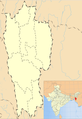 Hnahlan  Hnahlan Location in Mizoram, India | |
| Coordinates: 23°41′38″N 93°22′54″E / 23.6937905°N 93.3817264°ECoordinates: 23°41′38″N 93°22′54″E / 23.6937905°N 93.3817264°E | |
| Country | India |
| State | Mizoram |
| District | Champhai |
| Block | Champhai |
| Elevation | 1,522 m (4,993 ft) |
| Population (2011) | |
| • Total | 3,157 |
| Time zone | IST (UTC+5:30) |
| 2011 census code | 271344 |
Hnahlan is a village in the Champhai district of Mizoram, India. It is located in the Champhai R.D. Block.[1]
Demographics
According to the 2011 census of India, Hnahlan has 569 households. The effective literacy rate (i.e. the literacy rate of population excluding children aged 6 and below) is 92.95%.[2]
| Total | Male | Female | |
|---|---|---|---|
| Population | 3157 | 1602 | 1555 |
| Children aged below 6 years | 575 | 296 | 279 |
| Scheduled caste | 2 | 1 | 1 |
| Scheduled tribe | 3059 | 1525 | 1534 |
| Literates | 2400 | 1256 | 1144 |
| Workers (all) | 1735 | 877 | 858 |
| Main workers (total) | 1725 | 872 | 853 |
| Main workers: Cultivators | 1563 | 744 | 819 |
| Main workers: Agricultural labourers | 1 | 1 | 0 |
| Main workers: Household industry workers | 3 | 1 | 2 |
| Main workers: Other | 158 | 126 | 32 |
| Marginal workers (total) | 10 | 5 | 5 |
| Marginal workers: Cultivators | 6 | 3 | 3 |
| Marginal workers: Agricultural labourers | 0 | 0 | 0 |
| Marginal workers: Household industry workers | 0 | 0 | 0 |
| Marginal workers: Others | 4 | 2 | 2 |
| Non-workers | 1422 | 725 | 697 |
References
- ↑ "Mizoram villages" (PDF). Land Records Information Systems Division, NIC. Retrieved 2015-08-22.
- 1 2 "District Census Handbook - Champhai" (PDF). 2011 Census of India. Directorate of Census Operations, Mizoram. Retrieved 2015-08-22.
This article is issued from Wikipedia - version of the 9/9/2016. The text is available under the Creative Commons Attribution/Share Alike but additional terms may apply for the media files.