Galah, Victoria
| Galah Victoria | |
|---|---|
 Galah | |
| Coordinates | 35°04′59″S 142°10′59″E / 35.083°S 142.183°ECoordinates: 35°04′59″S 142°10′59″E / 35.083°S 142.183°E |
| Postcode(s) | 3507 |
| Elevation | 70 m (230 ft) |
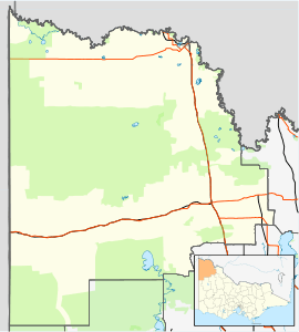
| Location | |
| LGA(s) | Rural City of Mildura |
| State electorate(s) | Mildura |
| Federal Division(s) | Mallee |
Galah /ɡəˈlɑː/[2] is a locality situated on the Mallee Highway and Pinnaroo railway line in the Sunraysia region of Victoria. It is situated about 15 kilometres (9 mi) east from Ouyen and 15 kilometres (9 mi) west from Walpeup. It is in the local government area of the Rural City of Mildura.
Notes and references
- ↑ Travelmate
- ↑ Macquarie Dictionary, Fourth Edition (2005). Melbourne, The Macquarie Library Pty Ltd. ISBN 1-876429-14-3
External links
This article is issued from Wikipedia - version of the 5/7/2016. The text is available under the Creative Commons Attribution/Share Alike but additional terms may apply for the media files.