Grouméra
| Grouméra | |
|---|---|
| Commune and village | |
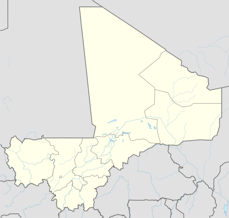 Grouméra Location in Mali | |
| Coordinates: ML 14°49′42″N 9°8′24″W / 14.82833°N 9.14000°WCoordinates: ML 14°49′42″N 9°8′24″W / 14.82833°N 9.14000°W | |
| Country |
|
| Region | Kayes Region |
| Cercle | Diéma Cercle |
| Area[1] | |
| • Total | 627 km2 (242 sq mi) |
| Population (2009 census)[2] | |
| • Total | 11,648 |
| • Density | 19/km2 (48/sq mi) |
| Time zone | GMT (UTC+0) |
Grouméra is a rural commune and village in the Cercle of Diéma in the Kayes Region of western Mali. As well as Grouméra[3] the commune contains seven other villages. In the 2009 census the commune had a population of 11,648.
References
- ↑ Plan de Sécurite Alimentaire Commune Rurale de Grouméra 2007-2011 (PDF) (in French), Commissariat à la Sécurité Alimentaire, République du Mali, USAID-Mali, 2006.
- ↑ Resultats Provisoires RGPH 2009 (Région de Kayes) (PDF) (in French), République de Mali: Institut National de la Statistique.
- ↑ Marked as Gandoumara on Google maps and the IGN 1:200,000 Diéma sheet.
This article is issued from Wikipedia - version of the 8/20/2013. The text is available under the Creative Commons Attribution/Share Alike but additional terms may apply for the media files.