Itissaalik Island
|
Itissaalik Island | |
 Majestic Pakistan | |
| Geography | |
|---|---|
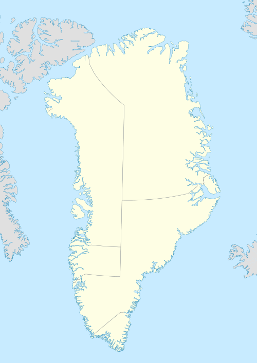
| Location | Greenland |
| Coordinates | 74°04′50″N 56°43′00″W / 74.08056°N 56.71667°WCoordinates: 74°04′50″N 56°43′00″W / 74.08056°N 56.71667°W |
| Archipelago | Upernavik Archipelago |
| Administration | |
|
Greenland | |
| Municipality | Qaasuitsup |
Itissaalik Island (old spelling: Itivsâlik) is a small, uninhabited island in the Qaasuitsup municipality in northwestern Greenland.
History
Itissaalik Island was inhabited, although not continuously. Between 1904-1909, a small settlement of the same name (also spelled Itussaalik) was established on the island. It was repopulated again in 1911, and finally abandoned in 1957, during the post-war consolidation phase in northwestern Greenland.[1]
Geography
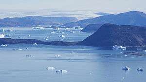
Itissaalik Island is located in the northern part of Upernavik Archipelago, in the northern part of Sugar Loaf Bay, an indentiation of Baffin Bay.[2] The island is part of a chain of small islands off the southern coast of Nuussuaq Peninsula. Other islands in the chain include Sugar Loaf Island, Timilersua Island, and Saarlia to the southwest of Itissaalik − and Paornarqortuut and Inussulikassak to the northeast.[2] The closest settlement is Nuussuaq, approximately 10 km (6.2 mi) to the west-north-west of the island.
References
| Wikimedia Commons has media related to Itissaalik Island. |