Koloni
| Koloni | |
|---|---|
| Village | |
 Koloni Location in Mali | |
| Coordinates: 12°46′5″N 5°19′40″W / 12.76806°N 5.32778°WCoordinates: 12°46′5″N 5°19′40″W / 12.76806°N 5.32778°W | |
| Country |
|
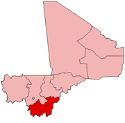
| Region | Sikasso Region |
| Cercle | Koutiala Cercle |
| Commune | Niantaga |
| Elevation | 312 m (1,024 ft) |
| Time zone | GMT (UTC+0) |
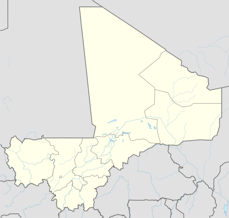
Koloni is a village and administrative centre (chef-lieu) of the commune of Niantaga in the Cercle of Koutiala in the Sikasso Region of southern Mali.[1] The village is 45 km north-northeast of Koutiala.
The French explorer René Caillié stopped at Koloni on 21 February 1828 on his journey to Timbuktu. He was travelling with a caravan transporting kola nuts to Djenné. In his book Travels through Central Africa to Timbuctoo published in 1830 he wrote:
At ten in the morning we arrived at Coloni, a little village situated in a beautiful, fertile and well cultivated plain, surrounded by a great number of large bombases. ... The village of Coloni, which is surrounded by two mud walls, contains a population of about four hundred, consisting of Foulahs, Bambaras, and Mandingoes: it is shaded by large mimosas and some bombaces.[2][3]
References
- ↑ Communes de la Région de Sikasso (PDF) (in French), Ministère de l’administration territoriale et des collectivités locales, République du Mali, archived from the original on 19 September 2012.
- ↑ Caillié 1830, pp. 428-429.
- ↑ Viguier 2008, p. 63.
Sources
- Caillié, René (1830). Travels through Central Africa to Timbuctoo; and across the Great Desert, to Morocco, performed in the years 1824-1828 (Volume 1). London: Colburn & Bentley.
- Viguier, Pierre (2008). Sur les Traces de René Caillié: Le Mali de 1828 Revisité. Versailles, France: Quae. ISBN 978-2-7592-0271-3..
This article is issued from Wikipedia - version of the 11/6/2016. The text is available under the Creative Commons Attribution/Share Alike but additional terms may apply for the media files.