Kaboïla
| Kaboïla | |
|---|---|
| Commune and village | |
 Kaboïla Location in Mali | |
| Coordinates: 11°12′49″N 5°38′5″W / 11.21361°N 5.63472°WCoordinates: 11°12′49″N 5°38′5″W / 11.21361°N 5.63472°W | |
| Country |
|
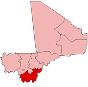
| Region | Sikasso Region |
| Cercle | Sikasso Cercle |
| Area[1] | |
| • Total | 654 km2 (253 sq mi) |
| Population (2009 census)[2] | |
| • Total | 26,272 |
| • Density | 40/km2 (100/sq mi) |
| Time zone | GMT (UTC+0) |
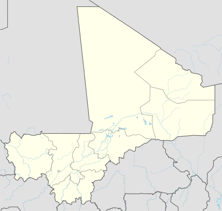
Kaboïla is a village and rural commune in the Cercle of Sikasso in the Sikasso Region of southern Mali. The commune covers an area of 654 square kilometers and includes 26 villages.[3] In the 2009 census it had a population of 26,272.[2] The village of Kaboïla is 12 km south of Sikasso near the main road, the RN7, linking Sikasso with Ouangolodougou in the Ivory Coast.
References
- ↑ Common and Fundamental Operational Datasets Registry: Mali, United Nations Office for the Coordination of Humanitarian Affairs. commune_mali.zip (Originally from the Direction Nationale des Collectivités Territoriales, République du Mali)
- 1 2 Resultats Provisoires RGPH 2009 (Région de Sikasso) (PDF) (in French), République de Mali: Institut National de la Statistique.
- ↑ Communes de la Région de Sikasso (PDF) (in French), Ministère de l’administration territoriale et des collectivités locales, République du Mali.
External links
- Plan de Sécurité Alimentaire Commune Rurale de Kaboila 2006-2010 (PDF) (in French), Commissariat à la Sécurité Alimentaire, République du Mali, USAID-Mali, 2006.
This article is issued from Wikipedia - version of the 4/20/2015. The text is available under the Creative Commons Attribution/Share Alike but additional terms may apply for the media files.