List of hills of Hampshire
This is a list of hills in Hampshire. It is based on the online Database of British and Irish Hills,[1] Jackson's More Relative Hills of Britain[2] and list of 30 metre prominences[3] and the Ordnance Survey mapping service.
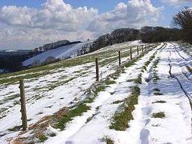
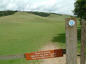
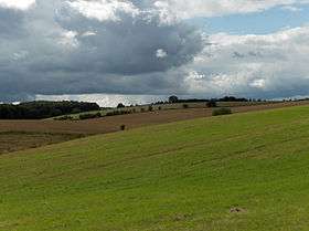
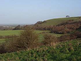
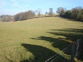
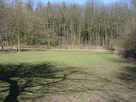
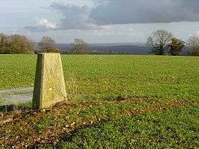
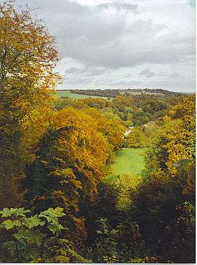
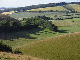
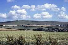
Many of these hills are important historic, archaeological and nature conservation sites, as well as popular hiking and tourist destinations in the county of Hampshire in southern England.
Colour key
| Class | Prominence |
|---|---|
| Marilyns | 150 - 599 m |
| HuMPs | 100 - 149 m |
The table is colour-coded based on the classification or "listing" of the hill. The two types that occur in Hampshire are Marilyns and HuMPs, listings that are based on the topographical prominence. "Prominence" correlates strongly with the subjective significance of a summit. Peaks with low prominences are either subsidiary tops of a higher summit or relatively insignificant independent summits. Peaks with high prominences tend to be the highest points around and likely to have extraordinary views. A Marilyn is a hill of any height that has a prominence of at least 150 metres or about 500 feet.[4] A "HuMP" (the acronym comes from "Hundred Metre Prominence) is a hill with a prominence of at least 100 but less than 150 metres.[2] In this table Marilyns are in beige and HuMPs in lilac. The term "sub-Marilyn" or "sub-HuMP" is used, e.g. in the Database of British and Irish Hills to indicate hills that fall just below the threshold. To qualify for inclusion, hills must either be 200 metres or higher with a prominence of at least 30 metres, below 200 metres with a prominence of at least 90 metres (the threshold for a sub-HuMP) or be in some other way notable. For further information see the Lists of mountains and hills in the British Isles and the individual articles on Marilyns and HuMPs.
The county tops (i.e. highest points) of Portsmouth and Southampton unitary authorities are not strictly in the modern county of Hampshire, but are included because they fall within Hampshire's historic county boundary.


The following summits have been omitted from the table as they are considered sub-peaks, alternative names of hills in the main list or are otherwise not eligible at this stage:
- Cottington's Hill or King John's Hill, Kingsclere, Hampshire Downs (230 metres (750 ft))[6][10][11]
- Stoner Hill, Hampshire Downs, East Hampshire Hangers (233 metres (764 ft)) is a subsidiary summit of Wheatham Hill (249 metres (817 ft)).[6][10]
See also
References and footnotes
- ↑ Database of British and Irish Hills at www.hill-bagging.co.uk. Accessed on 1 Apr 2013.
- 1 2 Jackson, Mark. "More Relative Hills of Britain" (PDF). Relative Hills of Britain. Retrieved 31 March 2013.
- 1 2 3 4 5 6 7 8 9 10 11 12 13 14 15 16 17 18 19 20 21 22 23 24 25 Summit Listings by Relative Height by Mark Jackson, compiled by Jonathan de Ferranti. Accessed on 1 Apr 2013.
- ↑ Dawson, Alan (1992). The Relative Hills of Britain. Milnthorpe: Cicerone Press. ISBN 1-85284-068-4.
- 1 2 3 4 5 Name, height, prominence, grid and class data from Database of British and Irish Hills - Hampshire. Accessed on 1 Apr 2013.
- 1 2 3 4 5 6 7 8 9 10 Varley, Telford (1922). Hampshire, Cambridge County Geographies, Cambridge University Press, Cambridge, 2013 paperback edition, p. 17. ISBN 978-1-107-62028-5. Varley's use of the term "North Downs" is taken to mean the main "Hampshire Downs", not the "North Downs" of Surrey and Kent.
- 1 2 Name, height, prominence, grid and parent data from: Jackson, Mark (2009). More Relative Hills of Britain, Marilyn News Centre, UK, p. 144. E-book.
- ↑ Class data from Database of British and Irish Hills - Hampshire. Accessed on 1 Apr 2013.
- ↑ Jackson calls it "Portsdown" and gives the height as 131 m, drop as c93 m and grid as SU627069.
- 1 2 Ordnance Survey 1:50,000 Landranger series.
- ↑ Kingsclere at www.british-history.ac.uk. Accessed on 3 Apr 2013.
Lists of hills of Southern England | ||
|---|---|---|
 | ||