Menglian Dai, Lahu and Va Autonomous County
| Menglian County | |
|---|---|
| Autonomous county | |
| Chinese transcription(s) | |
| • Characters | 孟连傣族拉祜族佤族自治县 |
| • Pinyin | Mènglián dǎizú lāhùzú wǎzú Zìzhìxiàn |
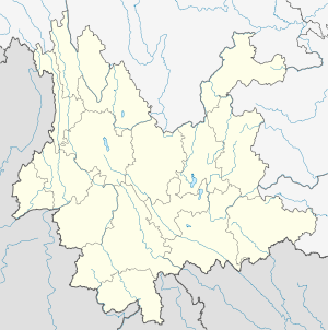
.png) Location of Menglian County (pink) and Pu'er Prefecture (yellow) within Yunnan province of China | |
 Menglian County Location within Yunnan, China | |
| Coordinates: 22°18′01″N 99°25′13″E / 22.30028°N 99.42028°E | |
| Country | China |
| Province | Yunnan |
| Prefecture | Pu'er |
| GB/T 2260 CODE[1] | 530827 |
| Area | |
| • Total | 1,957 km2 (756 sq mi) |
| Elevation | 1,300 m (4,300 ft) |
| Population | |
| • Total | 107,908 |
| • Density | 55/km2 (140/sq mi) |
| Time zone | China Standard Time (UTC+8) |
| Postal code | 665800[2] |
| Area code(s) | 0879[2] |
| Website | http://www.menglian.gov.cn/ |
|
1Yunnan Statistics Bureau 2Puer Gov. 3Yunnan Portal | |
Menglian Dai, Lahu and Va Autonomous County (孟连傣族拉祜族佤族自治县; pinyin: Mènglián dǎizú lāhùzú wǎzú Zìzhìxiàn) is an autonomous county under the jurisdiction of Pu'er Prefecture, Yunnan Province, China.
See also
References
External links
Coordinates: 22°18′01″N 99°25′13″E / 22.30028°N 99.42028°E
This article is issued from Wikipedia - version of the 11/24/2015. The text is available under the Creative Commons Attribution/Share Alike but additional terms may apply for the media files.