Nunatakassaup Sermia
For other uses, see Nunatakassaup Sermia (disambiguation).
| Nunatakassaup Sermia | |
|---|---|
| Location | Upernavik Archipelago, Greenland |
| Coordinates | 74°37′30″N 56°20′00″W / 74.62500°N 56.33333°WCoordinates: 74°37′30″N 56°20′00″W / 74.62500°N 56.33333°W |
| Terminus | Melville Bay |
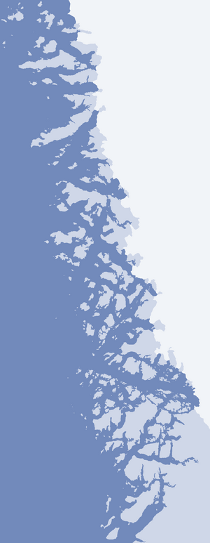
Nunatakassaup Sermia (Upernavik Archipelago)
Nunatakassaup Sermia (old spelling: Nunatakavsaup Sermia) is a tidewater glacier in the Qaasuitsup municipality on the northwestern shore of Greenland. It drains the Greenland ice sheet westwards into Melville Bay.[1] The glacier front is located between the Nunatakassak nunatak in the north, and the Wandel Land nunatak in the south.[1]
References
This article is issued from Wikipedia - version of the 5/11/2016. The text is available under the Creative Commons Attribution/Share Alike but additional terms may apply for the media files.