Puugutaa Island
 Puugutaa Island | |
| Geography | |
|---|---|
| Location | Tasiusaq Bay, Greenland |
| Coordinates | 73°00′N 55°30′W / 73.000°N 55.500°WCoordinates: 73°00′N 55°30′W / 73.000°N 55.500°W |
| Archipelago | Upernavik Archipelago |
| Highest elevation | 699 m (2,293 ft) |
| Administration | |
|
Greenland | |
| Demographics | |
| Population | 0 |
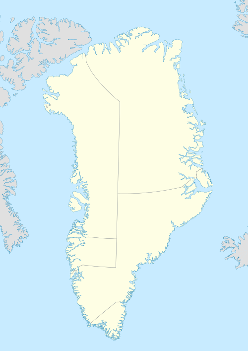
Puugutaa Island is an island of Greenland. It is located in Tasiusaq Bay in the Upernavik Archipelago.[1][2]
See also
References
- ↑ "Puugutaa". Mapcarta. Retrieved 11 July 2016.
- ↑ GoogleEarth
This article is issued from Wikipedia - version of the 11/17/2016. The text is available under the Creative Commons Attribution/Share Alike but additional terms may apply for the media files.