Saqqarlersuup Sullua
Saqqarlersuup Sullua (Upernavik Archipelago)
Saqqarlersuup Sullua (old spelling: Sarqardlersûp Suvdlua) is a strait in the Upernavik Archipelago in the Qaasuitsup municipality in northwestern Greenland.
Geography

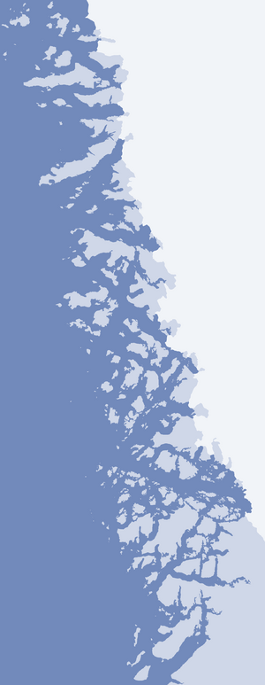
Left to right: Saqqarlersuaq Island, Greenland ice sheet (behind), Saqqarlersuup Sullua (front), tiny Uummannaarsukassak Island, Alison Bay (behind), Wandel Land (farther behind), and Kiatassuaq Island.
The strait is 11 km (6.8 mi) long and less than 4 km (2.5 mi) wide. Located in the northern part of Upernavik Archipelago, it is an inner waterway of Melville Bay, linking Alison Bay in the northeast with the open waters of the former in the west. The strait separates Kiatassuaq Island in the south from Saqqarlersuaq Island in the north.[1]
References
| Wikimedia Commons has media related to Saqqarlersuup Sullua Strait. |
- ↑ Upernavik Avannarleq, Saga Map, Tage Schjøtt, 1992
Coordinates: 74°32′30″N 56°56′00″W / 74.54167°N 56.93333°W
This article is issued from Wikipedia - version of the 1/18/2015. The text is available under the Creative Commons Attribution/Share Alike but additional terms may apply for the media files.