Qallunaat Island
|
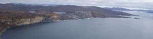
Aerial view of Qallunaat Island | |
 Qallunaat | |
| Geography | |
|---|---|
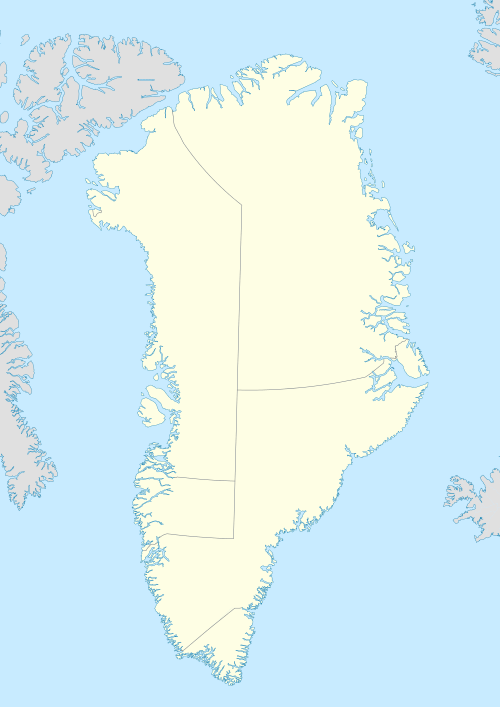
| Location | Greenland |
| Coordinates | 73°35′N 56°24′W / 73.583°N 56.400°WCoordinates: 73°35′N 56°24′W / 73.583°N 56.400°W |
| Archipelago | Upernavik Archipelago |
| Administration | |
|
Greenland | |
| Municipality | Qaasuitsup |
Qallunaat Island (old spelling: Qavdlunât) is an uninhabited island in the Qaasuitsup municipality in northwestern Greenland.
History
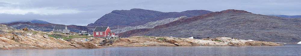
Qallunaat Island was briefly inhabited between 1898, when the Sarfaq settlement was founded, and 1919, when it was abandoned.[1] Sarfaq was perched on the low-lying northern end of the island, at the shores of Kangerlussuaq Icefjord.[2]
Geography
Qallunaat Island is located in Tasiusaq Bay, in the north-central part of Upernavik Archipelago. It is separated from Tuttorqortooq Island by the Qaqqakassaup Ikerasaa strait in the north, from the mainland of Greenland by the Kangerlussuaq Icefjord in the northeast, and by channels of Tasiusaq Bay from Nuuluk Island in the east, Nutaarmiut Island in the south, and Mattaangassut Island in the west.[2]
The island is hilly in its southern part, falling to the sea with red, silver, and light-colored cliffs. At 340 m (1,120 ft), Inngik is the highest mountain on the island, located in the western part of the island.[2]
Coastline
The coastline of the island is developed, with many inlets indenting the coastline, particularly in its northern part.[2]
Promontories
| Name | Direction | Latitude N | Longitude W |
|---|---|---|---|
| (none) | Northern Cape | 73°39′44″ | 56°16′32″ |
| Inussukassat | Eastern Cape | 73°37′29″ | 56°09′50″ |
| Ikerasaassuup Akia | Southern Cape | 73°32′26″ | 56°23′20″ |
| Naajamiut Nuuat | Southwestern Cape | 73°33′09″ | 56°31′40″ |
| Inngiup Nuua | Western Cape | 73°34′46″ | 56°31′10″ |
References
| Wikimedia Commons has media related to Qallunaat Island. |