Poloa Defensive Fortifications
|
Poloa Defensive Fortifications | |
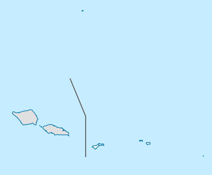 Location of the Poloa Defensive Fortifications in the Samoa archipelago | |
| Location |
Poloa Beach Poloa, American Samoa |
|---|---|
| Coordinates | 14°18′59″S 170°50′03″W / 14.316406°S 170.834151°WCoordinates: 14°18′59″S 170°50′03″W / 14.316406°S 170.834151°W |
| Area | 4.36 acres (1.76 ha)[1] |
| Built | 1941 or 1942[1] |
| Built by | United States Marine Corps |
| NRHP Reference # | 12000917 |
| Added to NRHP | November 14, 2012 |
The Poloa Defensive Fortifications are a set of historic military structures on the island of Tutuila in American Samoa. Consisting of three concrete pillboxes along the beach, these fortifications were built by American Marines as part of a system of defenses against a feared Japanese amphibious invasion of Samoa during the early part of World War II. The Poloa pillboxes stand out from other emplacements on Tutuila for their relatively less robust construction, possibly reflecting American tactical planning for greater defense in depth at this location. The threat of invasion eased by late 1942, and the fortifications never saw combat.[1]
The Poloa fortifications were added to the United States National Register of Historic Places in 2012.[2]
See also
References
- 1 2 3 Klenck, Joel D. (September 18, 2012), National Register of Historic Places Registration Form: Poloa (PDF), retrieved August 30, 2014.
- ↑ National Park Service (December 14, 2012). "Weekly List of Actions Taken on Properties: 12/03/12 through 12/07/12". Retrieved August 30, 2014.
| Topics | |
|---|---|
| Lists by states |
|
| Lists by insular areas | |
| Lists by associated states | |
| Other areas | |
| |