Rockville Bridge (Rockville, Utah)
|
Rockville Bridge | |
|
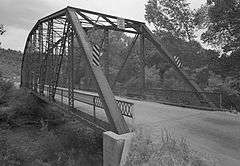
Rockville Bridge in 1993 | |
  | |
| Location | Bridge St. over E. Fork, Virgin R., Rockville, Utah |
|---|---|
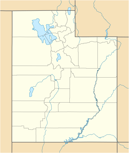
| Coordinates | 37°9′30″N 113°2′16″W / 37.15833°N 113.03778°WCoordinates: 37°9′30″N 113°2′16″W / 37.15833°N 113.03778°W |
| Area | less than one acre |
| Built | 1924 |
| NRHP Reference # | 95000982[1] |
| Added to NRHP | August 4, 1995 |
The Rockville Bridge spans the east fork of the Virgin River in Rockville, Utah. The bridge was built for the National Park Service in 1924 to provide a link between Zion National Park and the North Rim area of Grand Canyon National Park. The new bridge allowed motorists to take a circular tour of the national parks in southern Utah and northern Arizona. The Rockville route was superseded in 1928 by the construction of the Zion – Mount Carmel Highway.[2]
The bridge was designed by the U.S. Bureau of Public Roads for the Park Service, fabricated by the Minneapolis Steel and Machinery Company, and erected by Ogden contractor C.F. Dinsmore. The bridge spans 217 feet (66 m) in a single span, using a steel twelve-panel Parker through-truss.[2]
The Rockville Bridge was placed on the National Register of Historic Places on August 4, 1995.[1]
References
- 1 2 National Park Service (2010-07-09). "National Register Information System". National Register of Historic Places. National Park Service.
- 1 2 Troutman, Mary; Jordan, Coby (June 1995). "National mRegister of Historic Places Registration Form: Rockville Bridge" (PDF). National Park Service. Retrieved 25 March 2014.
External links
- The Rockville Bridge
- Historic American Engineering Record (HAER) No. UT-74, "Rockville Bridge, Spanning North Fork Virgin River at Rockville cut-off, Rockville, Washington County, UT", 5 photos, 1 photo caption page
