Ruffigné
| Ruffigné | ||
|---|---|---|
|
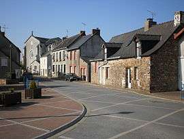
The main road in Ruffigné | ||
| ||
 Ruffigné | ||
|
Location within Pays de la Loire region  Ruffigné | ||
| Coordinates: 47°45′28″N 1°29′32″W / 47.7578°N 1.4922°WCoordinates: 47°45′28″N 1°29′32″W / 47.7578°N 1.4922°W | ||
| Country | France | |
| Region | Pays de la Loire | |
| Department | Loire-Atlantique | |
| Arrondissement | Châteaubriant | |
| Canton | Châteaubriant | |
| Intercommunality | Castelbriantais | |
| Government | ||
| • Mayor (2008–2014) | Louis Simoneau | |
| Area1 | 33.63 km2 (12.98 sq mi) | |
| Population (2006)2 | 681 | |
| • Density | 20/km2 (52/sq mi) | |
| Time zone | CET (UTC+1) | |
| • Summer (DST) | CEST (UTC+2) | |
| INSEE/Postal code | 44148 / 44660 | |
| Elevation | 33–98 m (108–322 ft) | |
| Website | http://www.cc-castelbriantais.fr/ | |
|
1 French Land Register data, which excludes lakes, ponds, glaciers > 1 km² (0.386 sq mi or 247 acres) and river estuaries. 2 Population without double counting: residents of multiple communes (e.g., students and military personnel) only counted once. | ||
.svg.png)
Ruffigné is a commune in the Loire-Atlantique department in western France.
See also
| Wikimedia Commons has media related to Ruffigné. |
This article is issued from Wikipedia - version of the 2/5/2015. The text is available under the Creative Commons Attribution/Share Alike but additional terms may apply for the media files.