Rye Air Force Station
| Rye Air Force Station | |
|---|---|
| Part of Air Defense Command (ADC) | |
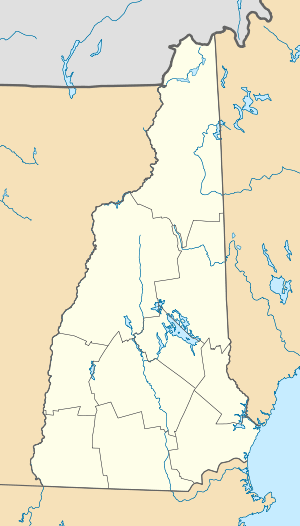 Rye AFS Location of Rye AFS, New Hampshire | |
| Coordinates | 43°02′41″N 070°42′51″W / 43.04472°N 70.71417°W |
| Type | Air Force Station |
| Site information | |
| Controlled by |
|
| Site history | |
| Built | 1956 |
| In use | 1956-1957 |
| Garrison information | |
| Garrison | 644th Aircraft Control and Warning Squadron |
Rye Air Force Station (ADC ID: M-104) is a closed United States Air Force General Surveillance Radar station. It is located 3.1 miles (5.0 km) southeast of Portsmouth, New Hampshire. It was closed in 1957.
History
Rye AFS was part of the planned deployment of 44 mobile radar stations by Air Defense Command in 1952 to provide protection for Strategic Air Command Bases and to support the permanent deployment of the 75 stations of the ADC radar network around the perimeter of the country. This deployment had been projected to be operational by mid-1952. Funding, constant site changes, construction, and equipment delivery delayed deployment.
Constructed at the former Fort Dearborn coastal artillery site, the station became operational in 1956 when the 644th Aircraft Control and Warning Squadron activated an AN/TPS-1D radar at the site, and initially the station functioned as a Ground-Control Intercept (GCI) and warning station. As a GCI station, the squadron's role was to guide interceptor aircraft toward unidentified intruders picked up on the unit's radar scopes.
It shortly was closed due to budget reduction in 1957. The site was re-equipped with an AN/FPS-14 and became an unmanned Gap Filler for North Truro AFS, Massachusetts, as site Fort Dearborn, P-10B. It was finally closed in June 1968.
Today, the site is the location of Odiorne Point State Park. Many former parts of Fort Dearborn remain. Rye AFS has been obliterated.
See also
References
![]() This article incorporates public domain material from the Air Force Historical Research Agency website http://www.afhra.af.mil/.
This article incorporates public domain material from the Air Force Historical Research Agency website http://www.afhra.af.mil/.
- Winkler, David F. (1997), Searching the skies: the legacy of the United States Cold War defense radar program. Prepared for United States Air Force Headquarters Air Combat Command.
- Information for Rye AFS, NH
