Sparsholt, Oxfordshire
| Sparsholt | |
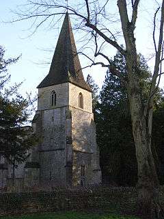
 Holy Rood church |
|
 Sparsholt |
|
| Population | 262 (2001 census)[1] |
|---|---|
| OS grid reference | SU3487 |
| Civil parish | Sparsholt |
| District | Vale of White Horse |
| Shire county | Oxfordshire |
| Region | South East |
| Country | England |
| Sovereign state | United Kingdom |
| Post town | Wantage |
| Postcode district | OX12 |
| Dialling code | 01235 |
| Police | Thames Valley |
| Fire | Oxfordshire |
| Ambulance | South Central |
| EU Parliament | South East England |
| UK Parliament | Wantage |
| Website | The Sparsholt & Westcot Community Site |
|
|
Coordinates: 51°35′10″N 1°30′04″W / 51.586°N 1.501°W
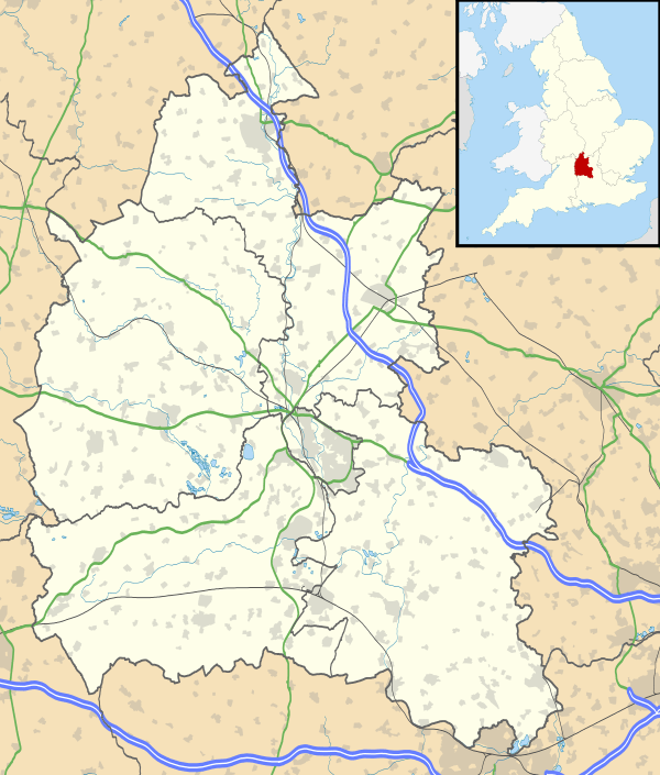
Sparsholt is a village and civil parish about 3 miles (5 km) west of the market town of Wantage in the Vale of White Horse. The village is a spring line settlement at the foot of the Berkshire Downs escarpment. The parish includes the hamlet of Westcot about 1⁄2 mile (800 m) west of the village. Sparsholt was part of Berkshire until the 1974 boundary changes transferred the Vale of White Horse to Oxfordshire.
The Church of England parish church of Holy Cross is part of the Benefice of Ridgeway, along with the parishes of Childrey, Kingston Lisle, Letcombe Bassett, Letcombe Regis and West Challow.[2]
Sparsholt has a public house, the Star Inn.
References
- ↑ "Area selected: Vale of White Horse (Non-Metropolitan District)". Neighbourhood Statistics: Full Dataset View. Office for National Statistics. Retrieved 27 July 2011.
- ↑ Archbishops' Council (2010). "Benefice of Ridgeway". A Church Near You. Church of England. Retrieved 27 July 2011.
![]() Media related to Sparsholt, Oxfordshire at Wikimedia Commons
Media related to Sparsholt, Oxfordshire at Wikimedia Commons
Further reading
- Page, W.H.; Ditchfield, P.H., eds. (1924). A History of the County of Berkshire, Volume 4. Victoria County History. pp. 311–319.
- Pevsner, Nikolaus (1966). Berkshire. The Buildings of England. Harmondsworth: Penguin Books. pp. 223–224.
