Banatska Palanka
| Banatska Palanka Банатска Паланка | |
|---|---|
| Village | |
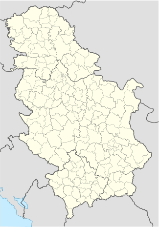
 Banatska Palanka Location of Banatska Palanka within Serbia | |
| Coordinates: 44°50′42″N 21°19′53″E / 44.84500°N 21.33139°ECoordinates: 44°50′42″N 21°19′53″E / 44.84500°N 21.33139°E | |
| Country | Serbia |
| Province | Vojvodina |
| District | South Banat |
| Elevation | 64 m (210 ft) |
| Population (2002) | |
| • Banatska Palanka | 837 |
| Time zone | CET (UTC+1) |
| • Summer (DST) | CEST (UTC+2) |
| Postal code | 26324 |
| Area code(s) | +381(0)13 |
| Car plates | VŠ |
Banatska Palanka (Serbian Cyrillic: Банатска Паланка) is a village in Serbia. It is situated in the Bela Crkva municipality, South Banat District, Vojvodina province. The population of the village is 837 (2002 census), of whom 752 (89.84%) are ethnic Serbs.
Name
In Serbian the village is known as Banatska Palanka (pronounced [bǎnaːtskaː pǎlaːŋka]; Банатска Паланка); in German as Palank or Neu-Palanka; in Hungarian as Palánk; and in Turkish as Haram.
Geography
Banatska Palanka is located in south-eastern part of the Serbian Banat, near the border with Romania. There are in fact two settlements in this area - Banatska Palanka and Stara Palanka. The second one is not officially regarded as a separate settlement, but as part of Banatska Palanka.
History
Banatska Palanka is an old settlement, existing at this spot since the 17th century, although the oldest settlement was on the place of today's Stara Palanka (Old Palanka) which is located at the mouth of river Nera into Danube.
At the beginning of the 19th century Banatska Palanka was an important Danube port. The settlement has a continuous decrease of population. Today Banatska Palanka together with Stara Palanka counts 837 inhabitants.
Historical population
- 1961: 1,245
- 1971: 1,166
- 1981: 1,095
- 1991: 974
- 2002: 837
Economy and features
The economy of Banatska Palanka is mostly agricultural, although not exclusively. The entirety of Stara Palanka is designated for social recreation centres (including hotels, resorts, restaurants, sport playgrounds, performance venues, etc.) as well as for flats and vacation homes.
Banatska Palanka lies on the route between Bela Crkva-Kovin and Stara Palanka-Ram. It also possesses a ferry-boat, which is the shortest way of traveling from this part of Vojvodina to Požarevac and Central Serbia.
References
- Slobodan Ćurčić, Broj stanovnika Vojvodine, Novi Sad, 1996.