Tievebaun Mountain
| Tievebaun Mountain | |
|---|---|
| Taobh Bán | |
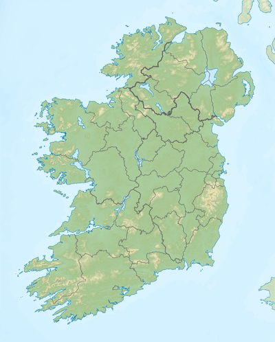 Location in Ireland | |
| Highest point | |
| Elevation | 611 m (2,005 ft) |
| Prominence | 106 m (348 ft) |
| Parent peak | none - HP Ireland |
| Coordinates | 54°23′50″N 8°21′26″W / 54.397132°N 8.357281°WCoordinates: 54°23′50″N 8°21′26″W / 54.397132°N 8.357281°W [1] |
| Geography | |
| Location | County Leitrim, Republic of Ireland |
| Parent range | Dartry Mountains |
Tievebaun Mountain, also known as Taobh Bán ("grassy slope") in Irish,[2] is a mountain located in County Leitrim. Its classifications include: "Arderin" & "Vandeleur-Lynam". The height of the mountain is 611m.[3] The mountain is most notable for its cliffs as well as the pinnacles which are located on the eastern and northern sides. The pinnacle known as Eagles Rock is actually the mountain's main summit.
Tievebaun Mountain is the third highest mountain in the Dartry Mountains range, and ranked as the 254th highest mountain in Ireland. Tievebaun is the second highest point in County Leitrim.
References
- ↑ http://mountainviews.ie/summit/253
- ↑ "Tievebaun Mountain (Taobh Ban) Hill Details + GPS Waypoint (#20210)". Haroldstreet.org.uk. Retrieved 2014-05-12.
- ↑ http://mountainviews.ie/summit/253/comment/2376
This article is issued from Wikipedia - version of the 10/20/2015. The text is available under the Creative Commons Attribution/Share Alike but additional terms may apply for the media files.