Vratimov
| Vratimov | |||
|---|---|---|---|
| Town | |||
|
| |||
| |||
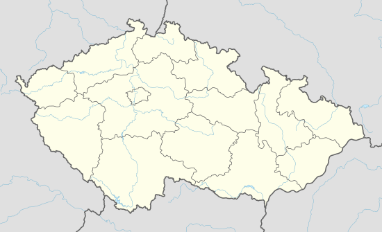
 Location in the Czech Republic | |||
| Coordinates: 49°46′3″N 18°18′56″E / 49.76750°N 18.31556°E | |||
| Country | Czech Republic | ||
| Region | Moravian-Silesian | ||
| District | Ostrava-City | ||
| First mentioned | 1305 | ||
| Government | |||
| • Mayor | Dagmar Hrudová | ||
| Area | |||
| • Total | 14.14 km2 (5.46 sq mi) | ||
| Elevation | 250 m (820 ft) | ||
| Population (2014-12-31) | |||
| • Total | 7,151 | ||
| • Density | 510/km2 (1,300/sq mi) | ||
| Postal code | 739 32 | ||
| Website | http://www.vratimov.cz/ | ||
Vratimov (German: Rattimau, Polish: Racimów) is a town in Ostrava-City District, Moravian-Silesian Region, Czech Republic. It has a population of 7,062 (2014) and lies in the historical region of Cieszyn Silesia.
History
The settlement was first mentioned in a Latin document of Diocese of Wrocław called Liber fundationis episcopatus Vratislaviensis from around 1305 as item in Wrothimow.[1][2][3] It meant that the village was in the process of location (the size of land to pay tithe from was not yet precised). The creation of the village was a part of a larger settlement campaign taking place in the late 13th century on the territory of what will be later known as Upper Silesia.
Politically the village belonged initially to the Duchy of Teschen, formed in 1290 in the process of feudal fragmentation of Poland and was ruled by a local branch of Piast dynasty. In 1327 the duchy became a fee of Kingdom of Bohemia, which after 1526 became part of the Habsburg Monarchy.
There is a Catholic Saint John the Baptist Church in the town.
Footnotes
- ↑ Panic, Idzi (2010). Śląsk Cieszyński w średniowieczu (do 1528) [Cieszyn Silesia in Middle Ages (until 1528)] (in Polish). Cieszyn: Starostwo Powiatowe w Cieszynie. pp. 297–299. ISBN 978-83-926929-3-5.
- ↑ Schulte, Wilhelm (1889). Codex Diplomaticus Silesiae T.14 Liber Fundationis Episcopatus Vratislaviensis (in German). Breslau.
- ↑ "Liber fundationis episcopatus Vratislaviensis" (in Latin). Retrieved 13 July 2014.
References
- Londzin, Józef (1932). Kościoły drewniane na Śląsku Cieszyńskim. Cieszyn: Dziedzictwo błog. Jana Sarkandra. pp. 268–274. OCLC 297540848.
External links
- (Czech) Official website
| Wikimedia Commons has media related to Vratimov. |
Coordinates: 49°46′3″N 18°18′56″E / 49.76750°N 18.31556°E


