Banihal Pass
| Banihal Pass | |
|---|---|
  | |
| Elevation | 2,832 m (9,291 ft) |
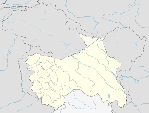
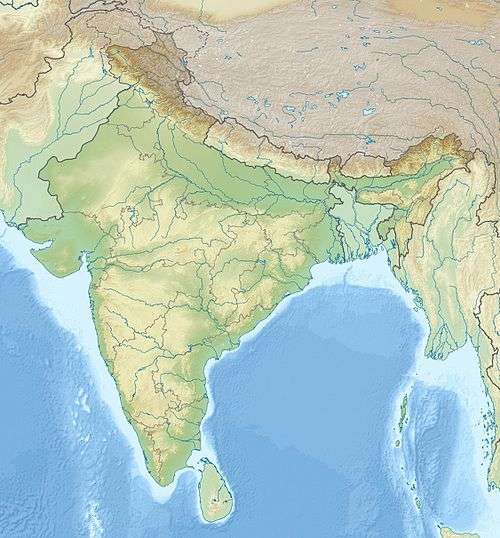
| Location | India |
| Range | Pir Panjal, Himalayas |
| Coordinates | 33°31′N 75°16′E / 33.517°N 75.267°ECoordinates: 33°31′N 75°16′E / 33.517°N 75.267°E |
Banihal Pass (Devanagari: बनिहाल दर्रा Urdu: بانہال درا)is a mountain pass across the Pir Panjal Range at 2,832 m (9,291 ft) maximum elevation. This mountain range connects the Kashmir Valley in the Indian state Jammu and Kashmir to the outer Himalaya and plains to the south. Banihal pass remains covered by heavy snow during most of the year. In the Kashmiri language, "Banihāl" means blizzard.[1]
The road from Jammu to Srinagar transversed Banihal Pass until 1956 when Jawahar Tunnel was constructed under the pass. The road now passes through the tunnel and the Banihal Pass is no longer used for road transport.
References
- ↑ Encyclopædia Britannica Online. "Banihāl Pass.". Archived from the original on 4 June 2009. Retrieved 2009-06-17.
This article is issued from Wikipedia - version of the 9/29/2016. The text is available under the Creative Commons Attribution/Share Alike but additional terms may apply for the media files.