Chhaya, India
| Chhaya | |
|---|---|
| city | |
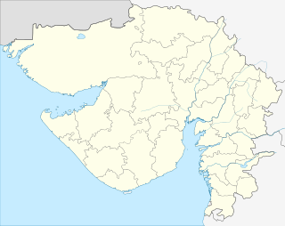 Chhaya  Chhaya Location in Gujarat, India | |
| Coordinates: 21°39′09″N 69°40′29″E / 21.65252°N 69.67465°ECoordinates: 21°39′09″N 69°40′29″E / 21.65252°N 69.67465°E | |
| Country |
|
| State | Gujarat |
| District | Porbandar |
| Taluka | Porbandar |
| Population (2001) | |
| • Total | 38,525 |
| Languages | |
| • Official | Gujarati, Hindi |
| Time zone | IST (UTC+5:30) |
| Vehicle registration | GJ-25 |
| Website |
gujaratindia |
Chhaya is a city and a municipality in Porbandar district and Porbandar Taluka in the state of Gujarat, India.
Demographics
As of 2001 India census,[1] Chhaya had a population of 38,525. Males constitute 53% of the population and females 47%. Chhaya has an average literacy rate of 71%, higher than the national average of 59.5%; with male literacy of 78% and female literacy of 62%. 12% of the population is under 6 years of age.
Jethwas are from chhaya village. The Jethwas have had capitals at starting with Morvi in 900 AD, changing with times to Shrinagar, Dhank, Chhaya, Ghumli, Ranpur and lastly to Porbandar (from 1685 till 1947). They were the first rulers of the Saurashtra area of Western Gujarat.
Suburb of Porbandar
Now Chhaya is the suburb of Porbandar city with modern facilities.
Main-attraction
Darbargarh, the palace of Jethwas at Chhaya was built around 1600.
The traditional Garba is organized here from monarchy period in Darbargadh area. Only traditional musical instruments and lyrics are used, no DJ.
References
- ↑ "Census of India 2001: Data from the 2001 Census, including cities, villages and towns (Provisional)". Census Commission of India. Archived from the original on 2004-06-16. Retrieved 2008-11-01.