Clonloghan
| Clonloghan Cluain Lócháin | |
|---|---|
| Civil parish | |
 Clonloghan Location in Ireland | |
| Coordinates: 52°43′N 8°53′W / 52.72°N 8.88°WCoordinates: 52°43′N 8°53′W / 52.72°N 8.88°W | |
| Country | Ireland |
| Province | Munster |
| County | County Clare |
| Time zone | WET (UTC+0) |
| • Summer (DST) | IST (WEST) (UTC-1) |
Clonloghan (Irish: Cluain Lócháin[1]) is a civil parish of County Clare, Ireland, located 21.7 kilometres (13.5 mi) by road northwest of Limerick, just north of Shannon.
Geography
The civil parish of Clonloghan lies in the barony of Bunratty Lower.[2] It is in the southern part of the county and is bordered by Kilnasoolagh to the northwest, Tomfinlough to the northeast, Drumline to the east, Kilmaleery to the west and Kilconry to the southwest.[3] It is divided into 14 townlands: [4]
- Ballinooskny
- Ballymurtagh
- Caherteige
- Clonloghan
- Drumgeely
- Killulla
- Knockaun
- Leamaneigh Beg
- Leamaneigh More
- Lisconor
- Lislea
- Lismacleane
- Tullyglass
- Tullyvarraga
References
- ↑ "Cluain Lócháin". Placenames Database of Ireland. Retrieved 2014-04-10.
- ↑ "Barony of Bunratty (Lower and Upper)". Parliamentary Gazeteer of Ireland. 1845. Retrieved 9 March 2014.
- ↑ "Map of Civil Parishes of County Clare". Clare County Library. Retrieved 9 March 2014.
- ↑ "Map of Clonloghan Parish showing Townlands". Clare County Library. Retrieved 9 March 2014.
Places in County Clare | ||
|---|---|---|
| Towns | 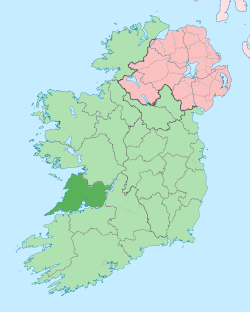 | |
| Villages |
| |
| Regions | ||
| Islands | ||
| ||
This article is issued from Wikipedia - version of the 4/10/2014. The text is available under the Creative Commons Attribution/Share Alike but additional terms may apply for the media files.