Corbin Covered Bridge
|
Corbin Covered Bridge | |
|
Formerly listed on the U.S. National Register of Historic Places | |
 | |
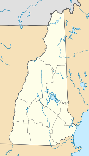  | |
| Location | Corbin Rd., Newport, New Hampshire |
|---|---|
| Coordinates | 43°23′28″N 72°11′43.5″W / 43.39111°N 72.195417°WCoordinates: 43°23′28″N 72°11′43.5″W / 43.39111°N 72.195417°W |
| Built | 1845 |
| Architectural style | Town lattice truss |
| NRHP Reference # | 76000134[1] |
| Significant dates | |
| Added to NRHP | December 12, 1976 |
| Removed from NRHP | September 2, 1993 |
The Corbin Covered Bridge is a wooden covered bridge over the North Branch of the Sugar River on Corbin Road, approximately 1 mile west of NH 10 in Newport in Sullivan County, New Hampshire, United States.[2] It is a Town lattice truss bridge, originally built in 1845, destroyed by fire in 1993[3] and subsequently reconstructed, consisting of one span with a total length of 96 feet (29 m). The total width of the bridge is 18 feet (5.5 m), and has a single lane road.[4] The bridge rests on stone abutments. The bridge passes 12 feet (3.7 m) over the water. Its sides are sheathed, the usual means by which the truss elements are protected from the elements.
The bridge was listed on the National Register of Historic Places in 1976[1] but was removed when destroyed by fire.
See also
- List of New Hampshire covered bridges
- List of bridges on the National Register of Historic Places in New Hampshire
- National Register of Historic Places listings in Sullivan County, New Hampshire
References
- 1 2 National Park Service (2009-03-13). "National Register Information System". National Register of Historic Places. National Park Service.
- ↑ "Corbin Wooden Truss Covered Bridge". Newportnh.net. Retrieved 2014-07-23.
- ↑ "Corbin Bridge #17 | New Hampshire Covered Bridges". Newhampshire.com. Retrieved 2014-07-23.
- ↑ "CORBIN BRIDGE - New Hampshire Covered Bridges". Nh.gov. 1993-05-24. Retrieved 2014-07-23.
| Topics |  | |
|---|---|---|
| Lists by county | ||
| Other lists | ||
| ||