Deneuvre
| Deneuvre | |
|---|---|
|
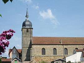
L'église de Deneuvre | |
 Deneuvre | |
|
Location within Grand Est region  Deneuvre | |
| Coordinates: 48°26′39″N 6°44′14″E / 48.4442°N 6.7372°ECoordinates: 48°26′39″N 6°44′14″E / 48.4442°N 6.7372°E | |
| Country | France |
| Region | Grand Est |
| Department | Meurthe-et-Moselle |
| Arrondissement | Lunéville |
| Canton | Baccarat |
| Intercommunality | Communauté de communes d'entre Meurthe et Verdurette |
| Government | |
| • Mayor (2008–2014) | Michel Boquel |
| Area1 | 9.7 km2 (3.7 sq mi) |
| Population (1999)2 | 571 |
| • Density | 59/km2 (150/sq mi) |
| Time zone | CET (UTC+1) |
| • Summer (DST) | CEST (UTC+2) |
| INSEE/Postal code | 54154 / 54120 |
| Elevation |
262–377 m (860–1,237 ft) (avg. 340 m or 1,120 ft) |
|
1 French Land Register data, which excludes lakes, ponds, glaciers > 1 km² (0.386 sq mi or 247 acres) and river estuaries. 2 Population without double counting: residents of multiple communes (e.g., students and military personnel) only counted once. | |
Deneuvre (French pronunciation: [də.nœvʁ]) is a commune in the Meurthe-et-Moselle department in north-eastern France.
See also
| Wikimedia Commons has media related to Deneuvre. |
This article is issued from Wikipedia - version of the 2/12/2016. The text is available under the Creative Commons Attribution/Share Alike but additional terms may apply for the media files.