Devil's Thumb (Greenland)
For disambiguation, see Devil's Thumb.
| Devil's Thumb | |
|---|---|
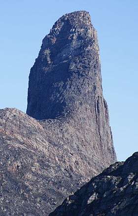 Devil's Thumb seen from the southwest | |
| Highest point | |
| Elevation | 546 m (1,791 ft) [1] |
| Coordinates | 74°35′37″N 57°08′28″W / 74.59361°N 57.14111°WCoordinates: 74°35′37″N 57°08′28″W / 74.59361°N 57.14111°W |
| Geography | |
 Devil's Thumb | |
| Location | Kullorsuaq Island, Upernavik Archipelago, Greenland |
Devil's Thumb (Greenlandic: Kullorsuaq, Danish: Djœvelens Tommelfinger) is a pinnacle-shaped, 546 m (1,791 ft)[1] mountain in the Qaasuitsup municipality in northwestern Greenland.
Geography
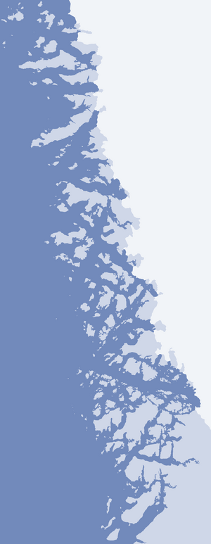
Devil's Thumb is located in the central part of Kullorsuaq Island, an island in the northern part of Upernavik Archipelago, in Melville Bay, approximately 3 km (1.9 mi) to the north of the Kullorsuaq settlement.[1]
References
| Wikimedia Commons has media related to Devil's Thumb. |
This article is issued from Wikipedia - version of the 1/18/2015. The text is available under the Creative Commons Attribution/Share Alike but additional terms may apply for the media files.