East Andover, New Hampshire
| East Andover, New Hampshire | |
|---|---|
| Unincorporated community | |
|
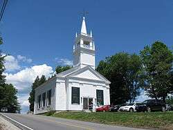
Andover Congregational Church in the village of East Andover | |
 East Andover  East Andover | |
| Coordinates: 43°27′33″N 71°44′53″W / 43.45917°N 71.74806°WCoordinates: 43°27′33″N 71°44′53″W / 43.45917°N 71.74806°W | |
| Country | United States |
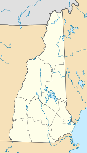
| State | New Hampshire |
| County | Merrimack |
| Town | Andover |
| Elevation | 673 ft (205 m) |
| Time zone | Eastern (EST) (UTC-5) |
| • Summer (DST) | EDT (UTC-4) |
| ZIP code | 03231 |
| Area code(s) | 603 |
| GNIS feature ID | 866685[1] |
East Andover is an unincorporated community in the town of Andover in Merrimack County, New Hampshire. The center of the community forms the East Andover Village Center Historic District.
The village is located on the east shore of Highland Lake, along New Hampshire Route 11 in the eastern portion of Andover. Route 11 runs east to Franklin and New Hampshire's Lakes Region, and runs west to the rest of Andover and the Lake Sunapee region. The village was a station along the former Northern Railroad connecting Concord to the southeast with White River Junction, Vermont to the northwest. The railroad grade is now the route of the Northern Rail Trail, currently extending from Franklin in the east to Lebanon in the west.
East Andover has a separate ZIP code (03231) from the rest of the town of Andover.
References
Municipalities and communities of Merrimack County, New Hampshire, United States | ||
|---|---|---|
| Cities |  | |
| Towns | ||
| CDPs | ||
| Other unincorporated communities | ||
| Footnotes | ‡This populated place also has portions in an adjacent county or counties | |