Gainesville-Hawthorne State Trail
| Gainesville-Hawthorne State Trail | |
|---|---|
|
IUCN category V (protected landscape/seascape) | |
|
The east end of the Hawthorne-Gainesville Trail | |
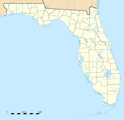 | |
| Location | Alachua County, Florida, USA |
| Nearest city | Gainesville, Florida |
| Coordinates | 29°35′28″N 82°11′21″W / 29.59111°N 82.18917°WCoordinates: 29°35′28″N 82°11′21″W / 29.59111°N 82.18917°W |
| Area | 16-mile (26 km) length |
| Governing body | Florida Department of Environmental Protection |

Gainesville-Hawthorne State Trail is a rail trail in Florida.
It is protected as a 16-mile (26 km) long Florida State Park and runs from the City of Gainesville's Boulware Springs Water Works to the town of Hawthorne. It passes through the Paynes Prairie Preserve State Park and the Lochloosa Wildlife Management Area along a former Seaboard Coast Line Railroad line. The property was purchased by the state of Florida from CSX Transportation with money from the "trails from rails" program in late 1989.[1]
Recreational activities
Activities include hiking, running, cycling, rollerblading, and horseback riding. A grassy equestrian pathway is available except east of the Lochloosa trailhead.
Hours
The Boulware Springs trailhead is open from 8 a.m. to 6 p.m. November through April and from 8 a.m. to 8 p.m. May through October. The Paynes Prairie portion of the trail is open from 8 a.m. until sunset, 365 days a year.
See also
References
- ↑ "Parcel: 19801-300-000". Alachua County Property Appraiser. Retrieved 2 November 2012.
- at Florida State Parks
- Friends of the Gainesville-Hawthorne Trail
- Gainesville-Hawthorne State Trail at Absolutely Florida
- Gainesville-Hawthorne State Trail at Wildernet
- Area Overview of Gainesville-Hawthorne Rail Trail at Outdoor Travels
External links
| Wikimedia Commons has media related to Gainesville-Hawthorne State Trail. |