Grade I listed buildings in Merseyside

Merseyside shown in England
There are over 6000 Grade I listed buildings in England. This page is a list of these buildings in the county of Merseyside.
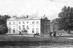
Knowsley
| Name | Location | Type | Completed [note 1] | Date designated | Grid ref.[note 2] Geo-coordinates |
Entry number [note 3] | Image |
|---|---|---|---|---|---|---|---|
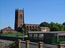
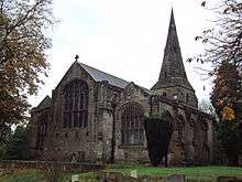
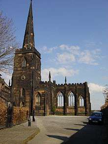
| Church of St Mary | Prescot, Knowsley | Church | 14th century | 19 March 1951 | SJ4653192704 53°25′42″N 2°48′22″W / 53.4284°N 2.80617°W |
1199139 | 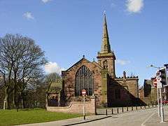 |
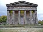
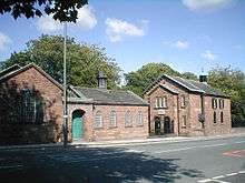
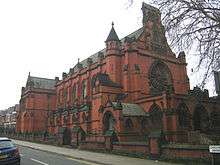
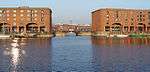
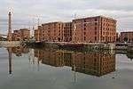
Liverpool

.jpg)
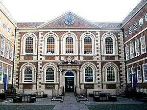
.JPG)


.jpg)

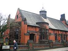
.JPG)


Sefton
| Name | Location | Type | Completed [note 1] | Date designated | Grid ref.[note 2] Geo-coordinates |
Entry number [note 3] | Image |
|---|---|---|---|---|---|---|---|
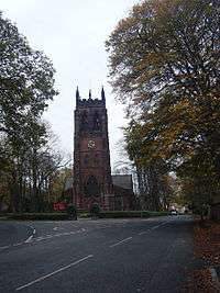
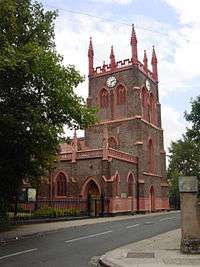
| Church of St Helen | Sefton, Sefton | Church | Early 14th century | 11 October 1968 | SD3568301295 53°30′16″N 2°58′16″W / 53.504395°N 2.971169°W |
1075852 | 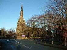 |
St. Helens
| Name | Location | Type | Completed [note 1] | Date designated | Grid ref.[note 2] Geo-coordinates |
Entry number [note 3] | Image |
|---|---|---|---|---|---|---|---|
| Sankey Viaduct over Sankey Brook (that Part in St Helens District) | St Helens | Railway Viaduct | 1830 | 3 February 1966 | SJ5688294719 53°26′51″N 2°39′02″W / 53.44746°N 2.650677°W |
1075927 | 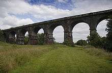 |
Wirral


See also
Notes
- 1 2 3 4 5 The date given is the date used by Historic England as significant for the initial building or that of an important part in the structure's description.
- 1 2 3 4 5 Sometimes known as OSGB36, the grid reference is based on the British national grid reference system used by the Ordnance Survey.
- 1 2 3 4 5 The "List Entry Number" is a unique number assigned to each listed building and scheduled monument by Historic England.
References
English Heritage Images of England
External links
![]() Media related to Grade I listed buildings in Merseyside at Wikimedia Commons
Media related to Grade I listed buildings in Merseyside at Wikimedia Commons
This article is issued from Wikipedia - version of the 10/18/2016. The text is available under the Creative Commons Attribution/Share Alike but additional terms may apply for the media files.