Haji Kusa
| Haji Kusa حاجي كوسة | |
|---|---|
| Village | |
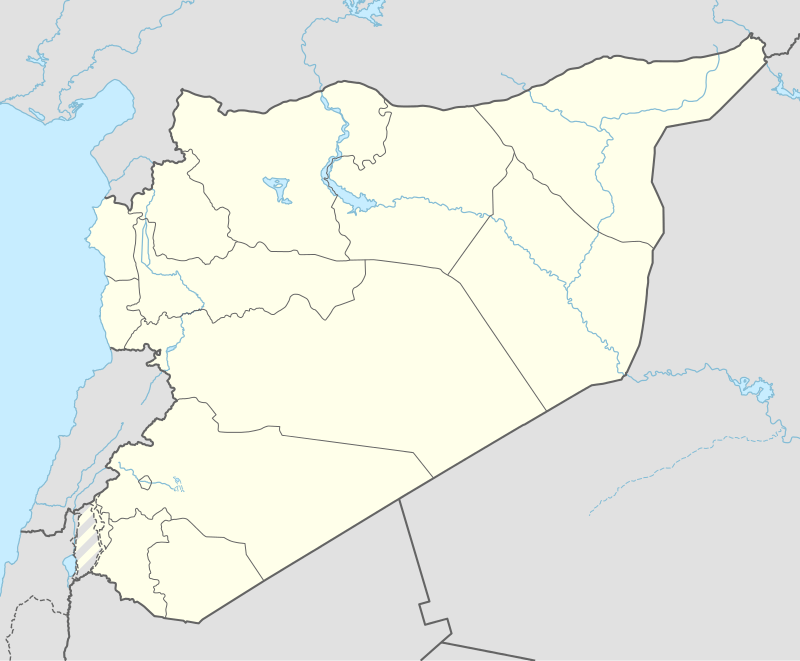 Haji Kusa Location of Haji Kusa in Syria | |
| Coordinates: 36°33′20″N 37°38′20″E / 36.55556°N 37.63889°ECoordinates: 36°33′20″N 37°38′20″E / 36.55556°N 37.63889°E | |
| Country |
|
| Governorate | Aleppo |
| District | al-Bab |
| Subdistrict | al-Rai |
| Population (2004)[1] | 1,011 |
| Time zone | EET (UTC+2) |
| • Summer (DST) | EEST (UTC+3) |
| Geocode | C1253 |
Haji Kusa (Arabic: حاجي كوسة; Kurdish: Hacikose) is a village in northern Aleppo Governorate, northern Syria. It is located in a sparsely populated area, some 18 km (11 mi) east of al-Rai, 22 km (14 mi) northeast of al-Bab and 27 km (17 mi) west of Manbij. Administratively part of Nahiya al-Rai in al-Bab District, the village has a population of 1,011 as per the 2004 census.[1] On 12 November 2016, Haji Kusa was captured by Turkish-backed Free Syrian Army from ISIS.[2]
References
- 1 2 "2004 Census Data for Nahiya al-Rai" (in Arabic). Syrian Central Bureau of Statistics. Retrieved 15 October 2015. Also available in English: UN OCHA. "2004 Census Data". Humanitarian Data Exchange. Retrieved 4 December 2015.
- ↑ "Syria Euphrates Shield 3 Short brief". 2016-11-12. Retrieved 2016-11-13.
Capital: Aleppo | ||||||||
|  | |||||||
|
| ||||||||
| ||||||||
| ||||||||
| ||||||||
| ||||||||
This article is issued from Wikipedia - version of the 11/14/2016. The text is available under the Creative Commons Attribution/Share Alike but additional terms may apply for the media files.