Maryamin, Jabal Seman
| Maryamin مريمين | |
|---|---|
| Village | |
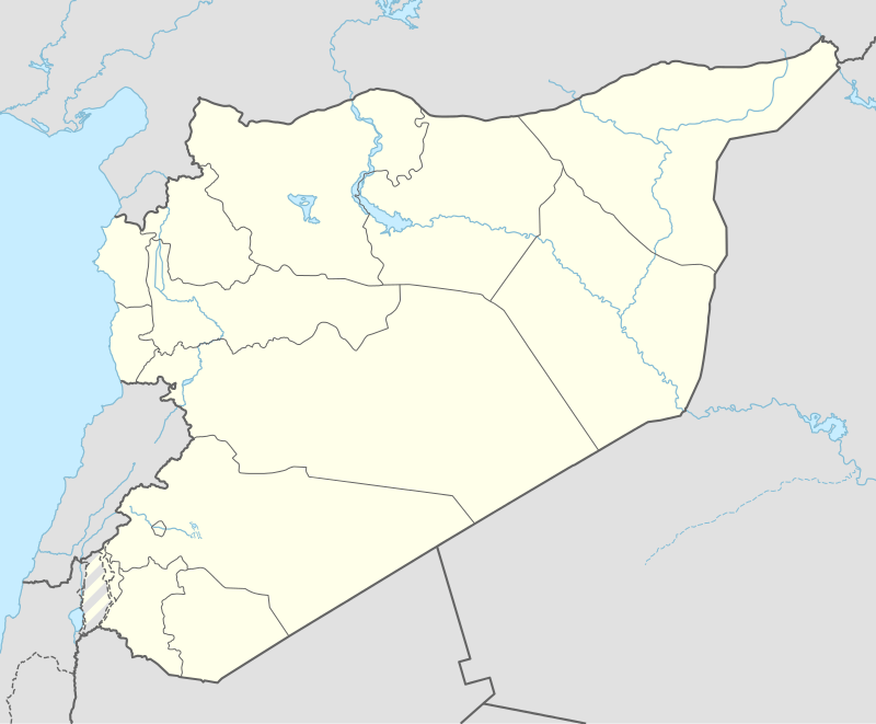 Maryamin Location of Maryamin in Syria | |
| Coordinates: 35°59′01″N 37°07′26″E / 35.9836°N 37.1239°ECoordinates: 35°59′01″N 37°07′26″E / 35.9836°N 37.1239°E | |
| Country |
|
| Governorate | Aleppo |
| District | Mount Simeon |
| Subdistrict | al-Hader |
| Elevation | 321 m (1,053 ft) |
| Population (2004)[1] | 1,045 |
| Time zone | EET (UTC+2) |
| • Summer (DST) | EEST (UTC+3) |
| Geocode | C1185 |
Maryamin (Arabic: مريمين, translit. Mreimin) is a village in the southern Aleppo countryside, Aleppo Governorate, northwestern Syria. Located some 20 km (12 mi) south of the city of Aleppo and some 6 km (3.7 mi) east of al-Hader.
Administratively, the village belongs to Nahiya al-Hader in Mount Simeon District. Nearby localities include al-Jumaymah 2 km (1.2 mi) to the northeast, and Kafr Abid 4 km (2.5 mi) to the east. In the 2004 census, Maryamin had a population of 1,045.[1]
References
- 1 2 "2004 Census Data for Nahiya al-Hader" (in Arabic). Syrian Central Bureau of Statistics. Retrieved 15 October 2015. Also available in English: UN OCHA. "2004 Census Data". Humanitarian Data Exchange. Retrieved 4 December 2015.
Capital: Aleppo | ||||||||
|  | |||||||
|
| ||||||||
| ||||||||
| ||||||||
| ||||||||
| ||||||||
This article is issued from Wikipedia - version of the 9/8/2016. The text is available under the Creative Commons Attribution/Share Alike but additional terms may apply for the media files.