Maryamin, Afrin
| Maryamin مريمين | |
|---|---|
| Village | |
 Maryamin Location of Maryamin in Syria | |
| Coordinates: 36°31′44″N 36°56′54″E / 36.5289°N 36.9483°ECoordinates: 36°31′44″N 36°56′54″E / 36.5289°N 36.9483°E | |
| Country |
|
| Governorate | Aleppo |
| District | Afrin |
| Subdistrict | Afrin |
| Elevation | 549 m (1,801 ft) |
| Population (2004)[1] | 810 |
| Time zone | EET (UTC+2) |
| • Summer (DST) | EEST (UTC+3) |
| Geocode | C1386 |
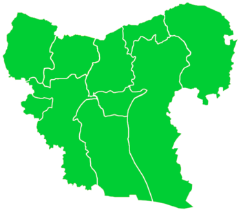
Maryamin (Arabic: مريمين, also spelled Mariamein, Maryamayn, Mreimin Afrin or Maryamayn Afrin) is a village in northwestern Aleppo Governorate northwestern Syria. Administratively, the village belongs to Nahiya Afrin in Afrin District. Nearby localities include Jalbul to the south, Afrin to the west, Qatma to the north and A'zaz to the east. In the 2004 census, Maryamin had a population of 810.[1]
Maryamin was noted as "a celebrated village of Aleppo" by the 13th-century Syrian geographer Yaqut al-Hamawi.[2]
References
- 1 2 "2004 Census Data for Nahiya Afrin" (in Arabic). Syrian Central Bureau of Statistics. Retrieved 15 October 2015. Also available in English: UN OCHA. "2004 Census Data". Humanitarian Data Exchange. Retrieved 4 December 2015.
- ↑ Guy le Strange (1890). Palestine Under the Moslems: A Description of Syria and the Holy Land from A.D. 650 to 1500. Committee of the Palestine Exploration Fund. p. 503.
This article is issued from Wikipedia - version of the 9/8/2016. The text is available under the Creative Commons Attribution/Share Alike but additional terms may apply for the media files.

