Kuweires Sharqi
| Kuweires Sharqi كويرس شرقي | |
|---|---|
| Village | |
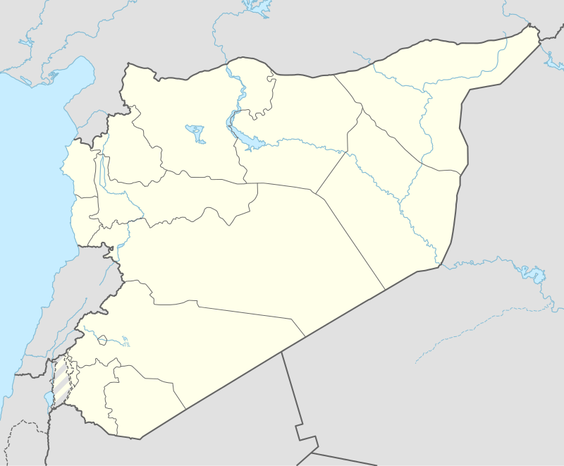 Kuweires Sharqi Location of Kuweires Sharqi in Syria | |
| Coordinates: 36°10′07″N 37°32′28″E / 36.1686°N 37.5411°ECoordinates: 36°10′07″N 37°32′28″E / 36.1686°N 37.5411°E | |
| Country |
|
| Governorate | Aleppo |
| District | Dayr Hafir |
| Subdistrict | Kuweires Sharqi |
| Population (2004)[1] | 3,129 |
| Time zone | EET (UTC+2) |
| • Summer (DST) | EEST (UTC+3) |
| Geocode | C1294 |
Kuweires Sharqi (Arabic: كويرس شرقي, translit. East Kuweires) is a town in eastern Aleppo Governorate, northwestern Syria, mostly known for the Kuweires Military Airbase 1 km (0.62 mi) to the northeast. Located on the Dayr Hafir Plain north of Lake Jabbul, some 30 km (19 mi) east of the city of Aleppo and 15 km (9.3 mi) west of Dayr Hafir, Kuweires Sharqi is the administrative center of Nahiya Kuweires Sharqi in Dayr Hafir District. In the 2004 census, it had a population of 3,129.[1]
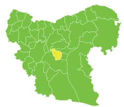
Kuwayris Sharqi is the administrative center of Nahiya Kuweires Sharqi of the Dayr Hafir District.
References
- 1 2 "2004 Census Data for Nahiya Kuweires Sharqi" (in Arabic). Syrian Central Bureau of Statistics. Retrieved 15 October 2015. Also available in English: UN OCHA. "2004 Census Data". Humanitarian Data Exchange. Retrieved 4 December 2015.
Capital: Aleppo | ||||||||
|  | |||||||
|
| ||||||||
| ||||||||
| ||||||||
| ||||||||
| ||||||||
This article is issued from Wikipedia - version of the 10/21/2016. The text is available under the Creative Commons Attribution/Share Alike but additional terms may apply for the media files.