Hampstead Gardens, South Australia
| Hampstead Gardens Adelaide, South Australia | |||||||||||||
|---|---|---|---|---|---|---|---|---|---|---|---|---|---|
 Hampstead Gardens | |||||||||||||
| Coordinates | 34°52′23″S 138°37′52″E / 34.873°S 138.631°ECoordinates: 34°52′23″S 138°37′52″E / 34.873°S 138.631°E | ||||||||||||
| Postcode(s) | 5086 | ||||||||||||
| LGA(s) | City of Port Adelaide Enfield | ||||||||||||
| State electorate(s) | Torrens | ||||||||||||
| Federal Division(s) | Adelaide | ||||||||||||
| |||||||||||||
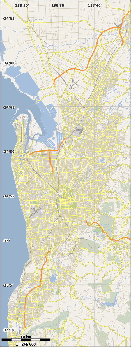
Hampstead Gardens is a north eastern suburb of Adelaide, in the City of Port Adelaide Enfield. Triangular in shape, it is bounded by Muller Road to the north, which meets North East Road which is the boundary to the south and east and then Ways Road which is its western boundary.
It contains a mixture of post World War II bungalows on large blocks, mainly in the western part of the suburb, with many Housing SA dwellings and other higher density apartments in the eastern part which is also home to a light industrial area. The North East Road frontage of the suburb is predominately commercial in nature and urban infill is becoming evident especially in the area near Poole Avenue.
The suburb has two small local strip shopping centres, one on Ways Road and the other on the corner of Muller Road and Poole Avenue, whilst the neighbourhood centre sized Hampstead Gardens Shopping Centre is located on North East Road just to the west of the Poole Avenue intersection.