Illovo, Gauteng
| Illovo | |
|---|---|
 Illovo  Illovo  Illovo
| |
|
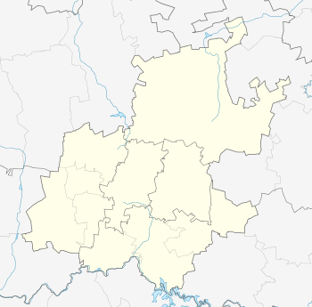
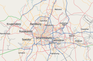
Location within Greater Johannesburg  Illovo | |
| Coordinates: 26°07′34″S 28°03′11″E / 26.126°S 28.053°ECoordinates: 26°07′34″S 28°03′11″E / 26.126°S 28.053°E | |
| Country | South Africa |
| Province | Gauteng |
| Municipality | City of Johannesburg |
| Main Place | Sandton |
| Area[1] | |
| • Total | 2.27 km2 (0.88 sq mi) |
| Population (2011)[1] | |
| • Total | 4,533 |
| • Density | 2,000/km2 (5,200/sq mi) |
| Racial makeup (2011)[1] | |
| • Black African | 36.2% |
| • Coloured | 3.2% |
| • Indian/Asian | 7.2% |
| • White | 50.7% |
| First languages (2011)[1] | |
| • English | 65.4% |
| • Zulu | 7.7% |
| • Afrikaans | 5.5% |
| • Tswana | 3.7% |
| • Other | 17.7% |
| Postal code (street) | 4126 |
| PO box | 4150 |
Illovo is a suburb of Johannesburg, South Africa. It borders Hyde Park, Sandhurst, and Craighall Park. It is located in Region E.
Illovo is also home to many young professionals and creatives because of its close proximity to Sandton and Johannesburg business centres and many affordable apartment blocks. Wanderers Stadium is located in Illovo, which is home to the Highveld Lions, Johannesburg's cricket team.
The University of Pretoria's business school, the Gordon Institute of Business Science (GIBS), is located in Illovo.[2]
The name is related to the word Lovu, meaning river.[3]
References
- 1 2 3 4 "Sub Place Illovo". Census 2011.
- ↑ http://www.illovoboulevard.com/intheboulevard.php?id=101 The Illovo Boulevard. Retrieved September 29, 2009
- ↑ Jenkins, Elwyn (2007), Falling into place: the story of modern South African place names, David Philip Publishers, p. 76
This article is issued from Wikipedia - version of the 6/22/2016. The text is available under the Creative Commons Attribution/Share Alike but additional terms may apply for the media files.