Meadowlands, Gauteng
| Meadowlands | |
|---|---|
 Meadowlands  Meadowlands  Meadowlands
| |
|
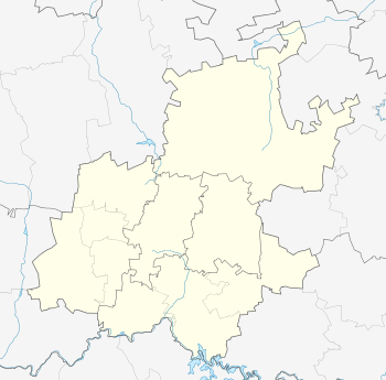
Location within Greater Johannesburg 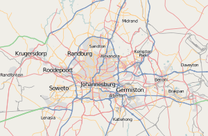 Meadowlands | |
| Coordinates: 26°13′15″S 27°53′58″E / 26.22083°S 27.89944°ECoordinates: 26°13′15″S 27°53′58″E / 26.22083°S 27.89944°E | |
| Country | South Africa |
| Province | Gauteng |
| Municipality | City of Johannesburg |
| Area[1] | |
| • Total | 11.57 km2 (4.47 sq mi) |
| Population (2001)[1] | |
| • Total | 138,354 |
| • Density | 12,000/km2 (31,000/sq mi) |
| Racial makeup (2001)[1] | |
| • Black African | 99.8% |
| • Coloured | 0.2% |
| First languages (2001)[1] | |
| • Zulu | 32.7% |
| • Tswana | 27.0% |
| • Sotho | 10.5% |
| • Tsonga | 10.1% |
| • Other | 19.7% |
| Postal code (street) | 1852 |
| PO box | 1851 |
Meadowlands is a suburb of Johannesburg, Gauteng Province, South Africa. Meadowlands suburb was founded in the early 1950s during the apartheid era for black residents from Sophiatown.
History
Meadowlands has its origin with the introduction of the Natives Resettlement Act, Act No 19 of 1954 with its aim to move black people out of the centre of Johannesburg from multi-cultural areas such as Sophiatown and the Western Native Townships.[2]:199 The Urban Resettlement Board was created and the forced removals began on 10 February 1955 and would continue until the mid-sixties when most of the new township had been completed.[2]:199 Early residents were separated into new zones of the township based on their ethnic background and identifiable by the street names.[2]:199
The Johannesburg City Council, at the time controlled by the United Party, did not participate in the forced removals but did provide extra land in Diepkloof when space ran out in Meadowlands when black people from the suburbs of Martindale and Newclare needed areas to settle.[3]:xi The Johannesburg City Council did not control the area like it did with Soweto, but would be made to cover the cost of the relocations.[3]:32 By 1968, the Natives Resettlement Board had relocated 22,500 black families and 6,500 single persons in both Meadowlands and Diepkloof and would administer both areas as they had not yet been allocated to any white municipality.[3]:xi
By 1973, now known as Diepmeadow, the administration was taken over by the West Rand Administration Board (WRAB) and by 1978, a Diepmeadows Town Council was formed to run the two townships when they decided not to join Soweto Council.[3]:32
References
- 1 2 3 4 "Main Place Meadowlands". Census 2001.
- 1 2 3 Tomlinson, Richard; Beauregard, Robert; Bremmer, Lindsay; Mangcu, Xolela (2014). Emerging Johannesburg. Routledge. p. 240. ISBN 9781317794240.
- 1 2 3 4 Grinker, David (2014). Inside Soweto: Memoir of an Official 1960s-80s. Johannesburg: Eastern Enterprises. p. 194. ISBN 9781291865998.