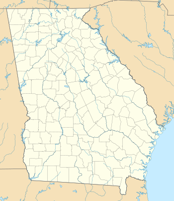
Marietta Air Force Station
Marietta Air Force Station | |
|---|---|
| Part of Air Defense Command (ADC) | |
 Marietta AFS Location of Marietta AFS, Georgia | |
| Coordinates | 33°54′14″N 084°29′12″W / 33.90389°N 84.48667°W |
| Type | Air Force Station |
| Site information | |
| Controlled by |
|
| Site history | |
| Built | 1956 |
| In use | 1956-1968 |
| Garrison information | |
| Garrison | 908th Aircraft Control and Warning (later Radar) Squadron |

Marietta Air Force Station (ADC ID: M-111, NORAD ID: Z-111) is a closed United States Air Force General Surveillance Radar station. It is located 2.1 miles (3.4 km) northeast of Smyrna, Georgia. It was closed in 1968.
History
The initial site at Dobbins Air Force Base became operational in 1956 when the 908th Aircraft Control and Warning Squadron activated an AN/MPS-11 search radar, later an AN/FPS-8 and an AN/TPS-10. Circa 1958 an AN/FPS-6 was added, and initially the station functioned as a Ground-Control Intercept (GCI) and warning station. As a GCI station, the squadron's role was to guide interceptor aircraft toward unidentified intruders picked up on the unit's radar scopes.
In 1961 the unit relocated to a separate site about a mile to the west of Dobbins AFB where the FAA had installed an ARSR-1A radar in 1959. The Air Force added two AN/FPS-6 height-finder radars at the new radar site. During 1962 Marietta AFS joined the Semi Automatic Ground Environment (SAGE) system, feeding data to DC-09 at Gunter AFB, Alabama.
The radar squadron provided information 24/7 the SAGE Direction Center where it was analyzed to determine range, direction altitude speed and whether or not aircraft were friendly or hostile. After joining, the squadron was re-designated as the 908th Radar Squadron (SAGE) on 1 April 1962. The ARSR-1A was upgraded to an ARSR-1E in 1964.
In addition to the main facility, Marietta operated three unmanned AN/FPS-18 Gap Filler sites:
- Barnesville, GA (M-111B): 33°04′00″N 084°07′51″W / 33.06667°N 84.13083°W
- Elberton, GA (M-111E): 34°05′02″N 082°55′10″W / 34.08389°N 82.91944°W
- Aquone, NC (M-111F): 35°10′39″N 083°33′49″W / 35.17750°N 83.56361°W
- Melvin Hill, NC (M-111G): 35°12′27″N 081°59′21″W / 35.20750°N 81.98917°W
The 908th was inactivated on 8 September 1968 and Marietta Air Force Station closed by ADC at the end of the month due to budget reductions.
Today, the Federal Aviation Administration (FAA) still operates the ARSR-1E radar on a small part of the site as a component of the Joint Surveillance System (JSS). Most of the former AFS has been completely obliterated and redeveloped into the Village Hill Shopping Center.
Air Force units and assignments
Units
- Established as the 908th Aircraft Control and Warning Squadron
- Activated at Willow Run AFS, MI on 25 June 1953 (not manned or equipped)
- Moved to Great Falls AFB, MT on 12 Aug 1953 (not manned or equipped)
- Moved to Dobbins AFB, GA on 25 September 1954
- Moved to Marietta AFS on 1 July 1956
- Redesignated 908th Radar Squadron (SAGE) on 1 April 1962
- Discontinued and inactivated on 8 September 1968
Assignments
- 35th Air Division, 25 September 1954
- 32d Air Division, 15 November 1958
- Montgomery Air Defense Sector, 1 July 1961
- 32d Air Division, 1 April 1966 – 8 September 1968
See also
References
![]() This article incorporates public domain material from the Air Force Historical Research Agency website http://www.afhra.af.mil/.
This article incorporates public domain material from the Air Force Historical Research Agency website http://www.afhra.af.mil/.
- Cornett, Lloyd H. and Johnson, Mildred W., A Handbook of Aerospace Defense Organization 1946 - 1980, Office of History, Aerospace Defense Center, Peterson AFB, CO (1980).
- Winkler, David F. & Webster, Julie L., Searching the Skies, The Legacy of the United States Cold War Defense Radar Program, US Army Construction Engineering Research Laboratories, Champaign, IL (1997).
- Information for Marietta AFS, GA
