Mugma
| Mugma | |
|---|---|
| Village | |
|
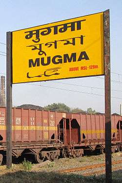
Mugma Railway Station nameplate | |
 Mugma  Mugma Location in Jharkhand, India | |
| Coordinates: 23°46′N 86°44′E / 23.77°N 86.73°ECoordinates: 23°46′N 86°44′E / 23.77°N 86.73°E | |
| Country |
|
| State | Jharkhand |
| District | Dhanbad |
| CD block | Nirsa |
| Elevation | 132 m (433 ft) |
| Population (2001) | |
| • Total | 2,978 |
| Languages | |
| • Official | Hindi, Santali |
| Time zone | IST (UTC+5:30) |
| Vehicle registration | JH |
| Lok Sabha constituency | Dhanbad |
| Vidhan Sabha constituency | Nirsa |
| Website |
dhanbad |
Mugma is a village in Nirsa CD Block in Dhanbad district in the Indian state of Jharkhand.
Geography
Mugma is located at 23°46′N 86°44′E / 23.77°N 86.73°E.[1] It has an average elevation of 132 metres (433 feet).
Demographics
As per 2011 Census of India Mugma had a population of 4,277, of which 2,238 were males and 2,039 females. Scheduled Castes numbered 622 and Scheduled Tribes numbered 362.[2]
As of 2001 India census,[3] Mugma had a population of 2,978. Males constitute 56% of the population and females 44%. Mugma has an average literacy rate of 54%, lower than the national average of 59.5%: male literacy is 66%, and female literacy is 39%. In Mugma, 13% of the population is under 6 years of age.
Literacy

As per 2011 census the total number of literates in Mugma was 2,616 out of which 1,574 were males and 1,042 were females.[2]
Education
Major Schools: De Nobili School, Mugma
References
- ↑ Falling Rain Genomics, Inc - Mugma
- 1 2 "2011 Census C.D. Block Wise Primary Census Abstract Data(PCA)". Jharkhand – District-wise CD Blocks. Registrar General and Census Commissioner, India. Retrieved 21 December 2015.
- ↑ "Census of India 2001: Data from the 2001 Census, including cities, villages and towns (Provisional)". Census Commission of India. Archived from the original on 2004-06-16. Retrieved 2008-11-01.