Olmeta-di-Tuda
| Olmeta-di-Tuda | |
|---|---|
|
A general view of Olmeta-di-Tuda village | |
 Olmeta-di-Tuda | |
|
Location within Corsica region 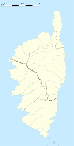 Olmeta-di-Tuda | |
| Coordinates: 42°36′44″N 9°21′16″E / 42.6122°N 9.3544°ECoordinates: 42°36′44″N 9°21′16″E / 42.6122°N 9.3544°E | |
| Country | France |
| Region | Corsica |
| Department | Haute-Corse |
| Arrondissement | Calvi |
| Canton | La Conca-d'Oro |
| Intercommunality | Nebbiu |
| Government | |
| • Mayor (2008–2014) | Louis Sabini |
| Area1 | 17.4 km2 (6.7 sq mi) |
| Population (2008)2 | 333 |
| • Density | 19/km2 (50/sq mi) |
| Time zone | CET (UTC+1) |
| • Summer (DST) | CEST (UTC+2) |
| INSEE/Postal code | 2B188 / 20232 |
| Elevation |
26–804 m (85–2,638 ft) (avg. 300 m or 980 ft) |
|
1 French Land Register data, which excludes lakes, ponds, glaciers > 1 km² (0.386 sq mi or 247 acres) and river estuaries. 2 Population without double counting: residents of multiple communes (e.g., students and military personnel) only counted once. | |

Olmeta-di-Tuda is a commune in the Haute-Corse department of France on the island of Corsica.
Population
| Historical population | ||
|---|---|---|
| Year | Pop. | ±% |
| 1962 | 191 | — |
| 1968 | 204 | +6.8% |
| 1975 | 150 | −26.5% |
| 1982 | 221 | +47.3% |
| 1990 | 247 | +11.8% |
| 1999 | 291 | +17.8% |
| 2008 | 333 | +14.4% |
See also
References
| Wikimedia Commons has media related to Olmeta-di-Tuda. |
This article is issued from Wikipedia - version of the 4/28/2016. The text is available under the Creative Commons Attribution/Share Alike but additional terms may apply for the media files.