Parata
For the flatbread, see Paratha. For the commune in Moldova, see Pîrîta. For the Māori surname, see Parata (surname).
| Parata | |
|---|---|
 Parata | |
|
Location within Corsica region 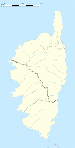 Parata | |
| Coordinates: 42°22′15″N 9°24′34″E / 42.3708°N 9.4094°ECoordinates: 42°22′15″N 9°24′34″E / 42.3708°N 9.4094°E | |
| Country | France |
| Region | Corsica |
| Department | Haute-Corse |
| Arrondissement | Corte |
| Canton | Orezza-Alesani |
| Government | |
| • Mayor (2008–2014) | Ours Pierre Leoni |
| Area1 | 2.83 km2 (1.09 sq mi) |
| Population (2008)2 | 32 |
| • Density | 11/km2 (29/sq mi) |
| Time zone | CET (UTC+1) |
| • Summer (DST) | CEST (UTC+2) |
| INSEE/Postal code | 2B202 / 20229 |
| Elevation |
417–1,248 m (1,368–4,094 ft) (avg. 550 m or 1,800 ft) |
|
1 French Land Register data, which excludes lakes, ponds, glaciers > 1 km² (0.386 sq mi or 247 acres) and river estuaries. 2 Population without double counting: residents of multiple communes (e.g., students and military personnel) only counted once. | |
Parata is a commune in the Haute-Corse department of France on the island of Corsica.
Population
| Historical population | ||
|---|---|---|
| Year | Pop. | ±% |
| 1962 | 3 | — |
| 1968 | 50 | +1566.7% |
| 1975 | 45 | −10.0% |
| 1982 | 35 | −22.2% |
| 1990 | 25 | −28.6% |
| 1999 | 27 | +8.0% |
| 2008 | 32 | +18.5% |
See also
References
| Wikimedia Commons has media related to Parata. |
This article is issued from Wikipedia - version of the 10/31/2014. The text is available under the Creative Commons Attribution/Share Alike but additional terms may apply for the media files.