Oost Gelre
| Oost Gelre | |||
|---|---|---|---|
| Municipality | |||
|
Monumental post office in Groenlo | |||
| |||
.svg.png) Location in Gelderland | |||
| Coordinates: 51°59′N 6°34′E / 51.983°N 6.567°ECoordinates: 51°59′N 6°34′E / 51.983°N 6.567°E | |||
| Country | Netherlands | ||
| Province | Gelderland | ||
| Government[1] | |||
| • Body | Municipal council | ||
| • Mayor | Annette Bronsvoort (PvdA) | ||
| Area[2] | |||
| • Total | 110.12 km2 (42.52 sq mi) | ||
| • Land | 109.67 km2 (42.34 sq mi) | ||
| • Water | 0.45 km2 (0.17 sq mi) | ||
| Elevation[3] | 21 m (69 ft) | ||
| Population (May 2014)[4] | |||
| • Total | 29,657 | ||
| • Density | 270/km2 (700/sq mi) | ||
| Time zone | CET (UTC+1) | ||
| • Summer (DST) | CEST (UTC+2) | ||
| Postcode | 7130–7141, 7263 | ||
| Area code | 0544 | ||
| Website |
www | ||


Oost Gelre is a municipality in the Achterhoek, in the eastern Netherlands. On 1 January 2005, the municipalities Groenlo and Lichtenvoorde merged and formed the new municipality Oost Gelre, which was called Groenlo until 19 May 2006.
Population centres
- Eefsele
- Groenlo
- Harreveld
- Lichtenvoorde
- Lievelde
- Mariënvelde
- Vragender
- Zieuwent
- Zwolle (Gelderland)
Topography
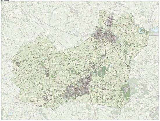
Dutch Topographic map of the municipality of Oost Gelre, June 2015
References
- ↑ "Samenstelling college van B&W" [Members of the board of mayor and aldermen] (in Dutch). Gemeente Oost Gelre. Retrieved 14 July 2014.
- ↑ "Kerncijfers wijken en buurten" [Key figures for neighbourhoods]. CBS Statline (in Dutch). CBS. 2 July 2013. Retrieved 12 March 2014.
- ↑ "Postcodetool for 7131CM". Actueel Hoogtebestand Nederland (in Dutch). Het Waterschapshuis. Retrieved 14 July 2014.
- ↑ "Bevolkingsontwikkeling; regio per maand" [Population growth; regions per month]. CBS Statline (in Dutch). CBS. 26 June 2014. Retrieved 24 July 2014.
External links
 Media related to Oost Gelre at Wikimedia Commons
- Official website
 |
Berkelland | Vreden (DE-NW) | | |
| Bronckhorst | |
Winterswijk | ||
| ||||
| | ||||
| Oude IJsselstreek | Aalten |

This article is issued from Wikipedia - version of the 7/25/2015. The text is available under the Creative Commons Attribution/Share Alike but additional terms may apply for the media files.