Plouhinec, Morbihan
| Plouhinec Pleheneg | ||
|---|---|---|
|
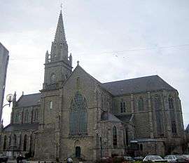
The church in Plouhinec | ||
| ||
 Plouhinec | ||
|
Location within Brittany region  Plouhinec | ||
| Coordinates: 47°41′54″N 3°14′59″W / 47.6983°N 3.2497°WCoordinates: 47°41′54″N 3°14′59″W / 47.6983°N 3.2497°W | ||
| Country | France | |
| Region | Brittany | |
| Department | Morbihan | |
| Arrondissement | Lorient | |
| Canton | Port-Louis | |
| Intercommunality | Blavet Bellevue Océan | |
| Government | ||
| • Mayor (2008—2014) | Adrien Le Formal | |
| Area1 | 35.58 km2 (13.74 sq mi) | |
| Population (1999)2 | 4,143 | |
| • Density | 120/km2 (300/sq mi) | |
| Time zone | CET (UTC+1) | |
| • Summer (DST) | CEST (UTC+2) | |
| INSEE/Postal code | 56169 / 56680 | |
| Elevation | 0–25 m (0–82 ft) | |
|
1 French Land Register data, which excludes lakes, ponds, glaciers > 1 km² (0.386 sq mi or 247 acres) and river estuaries. 2 Population without double counting: residents of multiple communes (e.g., students and military personnel) only counted once. | ||
.svg.png)
Plouhinec (Breton: Pleheneg) is a commune in the Morbihan department of Brittany in north-western France.
Toponymy
From the Breton ploe (parish), ethin (ulex) and the suffix ek.
Demographics
Inhabitants of Plouhinec are called in French Plouhinecois.
See also
References
External links
| Wikimedia Commons has media related to Plouhinec (Morbihan). |
- Official website (French)
- French Ministry of Culture list for Plouhinec (French)
- Map of Plouhinec on Michelin (English)
This article is issued from Wikipedia - version of the 2/11/2016. The text is available under the Creative Commons Attribution/Share Alike but additional terms may apply for the media files.