Shiloh Township, Edgar County, Illinois
| Shiloh Township | |
|---|---|
| Township | |
 Location in Edgar County | |
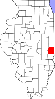 Edgar County's location in Illinois | |
| Coordinates: 39°44′41″N 87°51′14″W / 39.74472°N 87.85389°WCoordinates: 39°44′41″N 87°51′14″W / 39.74472°N 87.85389°W | |
| Country | United States |
| State | Illinois |
| County | Edgar |
| Area | |
| • Total | 58.36 sq mi (151.2 km2) |
| • Land | 58.36 sq mi (151.2 km2) |
| • Water | 0 sq mi (0 km2) 0% |
| Elevation | 663 ft (202 m) |
| Population (2010) | |
| • Total | 162 |
| • Density | 2.8/sq mi (1.1/km2) |
| Time zone | CST (UTC-6) |
| • Summer (DST) | CDT (UTC-5) |
| ZIP codes | 61917, 61924, 61932, 61940, 61942, 61944 |
| GNIS feature ID | 0429744 |
Shiloh Township is one of fifteen townships in Edgar County, Illinois, USA. As of the 2010 census, its population was 162 and it contained 89 housing units.[1] Shiloh Township was formed from Young America and Edgar townships.
Geography
According to the 2010 census, the township has a total area of 58.36 square miles (151.2 km2), all land.[1]
Cities, towns, villages
- Hume (south edge)
Extinct towns
- Garland
- Hughes
- Melwood
Cemeteries
The township contains Payne Cemetery.
Major highways
School districts
- Paris Community Unit School District 4
- Shiloh Community Unit School District 1
Political districts
- Illinois' 15th congressional district
- State House District 110
- State Senate District 55
References
- "Shiloh Township, Edgar County, Illinois". Geographic Names Information System. United States Geological Survey. Retrieved 2010-01-10.
- United States Census Bureau 2007 TIGER/Line Shapefiles
- United States National Atlas
- 1 2 "Population, Housing Units, Area, and Density: 2010 - County -- County Subdivision and Place -- 2010 Census Summary File 1". United States Census. Retrieved 2013-05-28.
External links
 |
Newman Township, Douglas County | Young America Township | | |
| Sargent Township, Douglas County | |
Edgar Township | ||
| ||||
| | ||||
| Embarrass Township | Buck Township |
Municipalities and communities of Edgar County, Illinois, United States | ||
|---|---|---|
| Cities | ||
| Villages | ||
| Townships | ||
| Unincorporated communities | ||
| Footnotes | ‡This populated place also has portions in an adjacent county or counties | |
This article is issued from Wikipedia - version of the 12/4/2013. The text is available under the Creative Commons Attribution/Share Alike but additional terms may apply for the media files.