Tvarditsa, Sliven Province
| Tvarditsa Твърдица | ||
|---|---|---|
|
Overview of Tvarditsa | ||
| ||
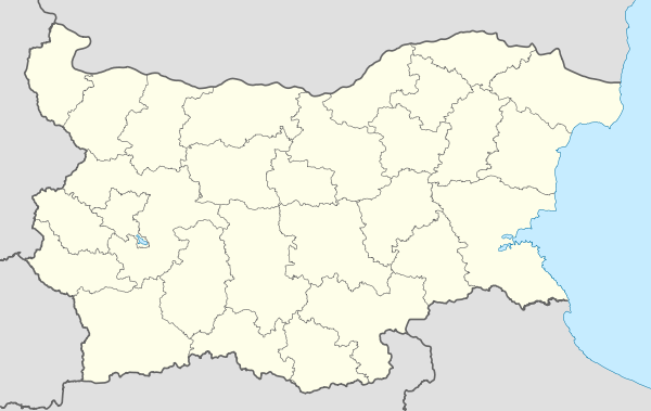
 Tvarditsa Location of Tvarditsa, Bulgaria | ||
| Coordinates: 42°42′N 25°54′E / 42.700°N 25.900°E | ||
| Country | Bulgaria | |
| Provinces (Oblast) | Sliven | |
| Government | ||
| • Mayor | Katya Doycheva | |
| Elevation | 396 m (1,299 ft) | |
| Population (2009-12-31)[1] | ||
| • Total | 5,669 | |
| Time zone | EET (UTC+2) | |
| • Summer (DST) | EEST (UTC+3) | |
| Postal Code | 8890 | |
| Area code(s) | 0454 | |
| License plate | CH | |
Tvarditsa (Bulgarian: Твърдица, Tvarditsa) is a town in Sliven Province, Southeastern Bulgaria. It is the administrative centre of the homonymous Tvarditsa Municipality. As of December 2009, the town has a population of 5,669 inhabitants.[1]
Tvarditsa is located on the southern slopes of Stara Planina. The area around is known as the Tvarditsa Coal Basin, the only place in the country where soft coal is mined.
Tvarditsa Rocks in the South Shetland Islands, Antarctica are named after Tvarditsa.[2] The Bessarabian Bulgarian village of Tvardiţa in Taraclia District, Moldova, was founded by refugees from Tvardisa, who named it after their ancestral town.[3]
| Wikimedia Commons has media related to Tvarditsa, Sliven Province. |
Gallery
 Main square and city hall
 The main road to the Balkan pass
 Balkan mountains
- Entrance to the Church of Saint Petka
Notes
- 1 2 (English) Bulgarian National Statistical Institute - towns in 2009
- ↑ Composite Gazetteer of Antarctica: Tvarditsa Rocks.
- ↑ "Българите от Твърдица, Молдова — част I" (in Bulgarian). Виртуална разходка из ТВЪРДИЦА / ТВАРДИЦА. Retrieved 26 October 2010.
Coordinates: 42°42′N 25°54′E / 42.700°N 25.900°E
This article is issued from Wikipedia - version of the 7/3/2015. The text is available under the Creative Commons Attribution/Share Alike but additional terms may apply for the media files.


