Waterloo Covered Bridge
|
Waterloo Covered Bridge | |
 | |
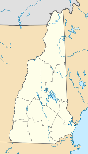  | |
| Location | Newmarket Rd., Waterloo, New Hampshire |
|---|---|
| Coordinates | 43°17′16″N 71°51′27″W / 43.28778°N 71.85750°WCoordinates: 43°17′16″N 71°51′27″W / 43.28778°N 71.85750°W |
| Area | 0.1 acres (0.040 ha) |
| Built | 1859 |
| Architectural style | Town lattice truss |
| Part of | Waterloo Historic District (#03000926) |
| NRHP Reference # | 76000130[1] |
| Significant dates | |
| Added to NRHP | November 21, 1976 |
| Designated CP | September 13, 2003 |
The Waterloo Covered Bridge carries Newmarket Road over the Warner River near the Waterloo Falls in Warner, New Hampshire. The Town lattice truss bridge was built in 1859-60, replacing an earlier span at the same location. The bridge is a single span with a length of 76'5", resting on concrete foundations that were laid in 1970, during a major rehabilitation of the structure. The bridge is sheathed by vertical planking and topped by a corrugated metal gable roof.[2]
The bridge was listed on the National Register of Historic Places in 1976,[1] and included in the Waterloo Historic District in 2003.[3]
See also
- National Register of Historic Places listings in Merrimack County, New Hampshire
- List of New Hampshire covered bridges
- List of bridges on the National Register of Historic Places in New Hampshire
References
- 1 2 National Park Service (2010-07-09). "National Register Information System". National Register of Historic Places. National Park Service.
- ↑ "NRHP nomination for Waterloo Covered Bridge" (PDF). National Park Service. Retrieved 2014-03-16.
- ↑ "NRHP nomination for Waterloo Historic District" (PDF). National Park Service. Retrieved 2014-03-16.
| Topics |  | |
|---|---|---|
| Lists by county | ||
| Other lists | ||
| ||
This article is issued from Wikipedia - version of the 11/30/2016. The text is available under the Creative Commons Attribution/Share Alike but additional terms may apply for the media files.