Wendover Airport
| Wendover Airport | |||||||||||||||
|---|---|---|---|---|---|---|---|---|---|---|---|---|---|---|---|
|
USGS 2006 orthophoto | |||||||||||||||
| IATA: ENV – ICAO: KENV – FAA LID: ENV | |||||||||||||||
| Summary | |||||||||||||||
| Airport type | Public | ||||||||||||||
| Owner | Tooele County | ||||||||||||||
| Serves | Wendover, Utah | ||||||||||||||
| Elevation AMSL | 4,237 ft / 1,291 m | ||||||||||||||
| Coordinates | 40°43′07″N 114°01′51″W / 40.71861°N 114.03083°WCoordinates: 40°43′07″N 114°01′51″W / 40.71861°N 114.03083°W | ||||||||||||||
| Map | |||||||||||||||
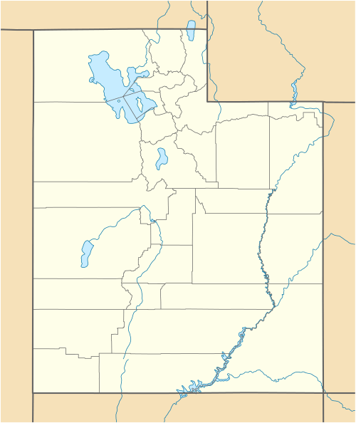
 ENV Location of airport in Utah | |||||||||||||||
| Runways | |||||||||||||||
| |||||||||||||||
| Statistics (2011) | |||||||||||||||
| |||||||||||||||
Wendover Airport (IATA: ENV, ICAO: KENV, FAA LID: ENV) is a county owned, public use airport located one nautical mile (2 km) southeast of the central business district of Wendover, a city in Tooele County, Utah, United States.[1]
It is included in the National Plan of Integrated Airport Systems for 2011–2015, which categorized it as a primary commercial service airport.[2] As per Federal Aviation Administration records, the airport had 46,264 passenger boardings (enplanements) in calendar year 2008,[3] 50,360 enplanements in 2009, and 50,734 in 2010.[4]
History
Military
Civilian
Wendover AAF was declared surplus in 1976 and on June 16 most of the field, including the water system, was turned over to Wendover, Utah, as a municipal airport. Beginning in 1980, the 4440th Tactical Fighter Training Group (Red Flag) at Nellis AFB, Nevada, used the field for exercises, but they were discontinued after 1986. In the late 1990s the airport's ownership was transferred from the city of Wendover to Tooele County.[5]
Still-extant facilities include three paved runways, numerous ramps, taxiways, dispersal pads, all of the original hangars (including the "Enola Gay" B-29 hangar), and 75 other World War II–era buildings.
Several flying scenes for the 1997 movie Con Air were filmed at Wendover, using a Fairchild C-123K Provider. A non-profit group, Historic Wendover Airfield, is attempting to restore the historic elements of the field.
Facilities and aircraft
Wendover Airport covers an area of 1,960 acres (793 ha) at an elevation of 4,237 feet (1,291 m) above mean sea level. It has two runways with asphalt surfaces: 8/26 is 8,000 by 150 feet (2,438 x 46 m) and 12/30 is 8,001 by 100 feet (2,439 x 30 m).[1]
For the 12-month period ending December 31, 2011, the airport had 5,009 aircraft operations, an average of 13 per day: 73% general aviation, 15% scheduled commercial, and 12% military. At that time there were 7 aircraft based at this airport: 57% jet and 43% single-engine.[1]
Airlines and destinations
Currently, there is no scheduled airline service to Wendover. However, Sun Country Airlines and Allegiant Air offer charter flights to various cities across the United States and Canada from Wendover using Boeing 737-800 and McDonnell Douglas MD-83 aircraft, respectively, as part of a package deal to bring tourists to local casinos. On average, the airport sees one charter flight per day.[6]
Passenger
| Airlines | Destinations |
|---|---|
| Sun Country Airlines | charter destinations |
| Xtra Airways | charter destinations |
References
- 1 2 3 4 FAA Airport Master Record for ENV (Form 5010 PDF). Federal Aviation Administration. Effective November 15, 2012.
- ↑ "2011–2015 NPIAS Report, Appendix A" (PDF, 2.03 MB). faa.gov. Federal Aviation Administration. October 4, 2010.
- ↑ "Enplanements for CY 2008" (PDF, 1.0 MB). faa.gov. Federal Aviation Administration. December 18, 2009.
- ↑ "Enplanements for CY 2010" (PDF, 189 KB). faa.gov. Federal Aviation Administration. October 4, 2011.
- ↑ http://wendoverairbase.com/postwar
- ↑ http://www.co.tooele.ut.us/wendoverairport.htm
External links
- Historic Wendover Airfield
- Aerial image as of September 1993 from USGS The National Map
- FAA Airport Diagram (PDF), effective December 8, 2016
- FAA Terminal Procedures for ENV, effective December 8, 2016
- Resources for this airport:
- FAA airport information for ENV
- AirNav airport information for KENV
- ASN accident history for ENV
- FlightAware airport information and live flight tracker
- NOAA/NWS latest weather observations
- SkyVector aeronautical chart, Terminal Procedures
