Wescott Road
|
Wescott Road | |
|
Wescott Road, January 2013 | |
  | |
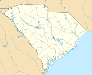
| Location | West of South Carolina Highway 174, Edisto Island, South Carolina |
|---|---|
| Coordinates | 32°33′44″N 80°16′53″W / 32.56222°N 80.28139°WCoordinates: 32°33′44″N 80°16′53″W / 32.56222°N 80.28139°W |
| Area | 1.9 acres (0.77 ha) |
| Built | 1825 |
| MPS | Edisto Island MRA |
| NRHP Reference # | 86003195[1] |
| Added to NRHP | November 28, 1986 |
Wescott Road, also known as Westcoat Road, is a historic road located at Edisto Island, Charleston County, South Carolina. It represents the last undisturbed remnants of the main road on Edisto Island, and is an oak-lined dirt road approximately 2/5 mile in distance. The road was established in the Colonial era. This section was isolated when S.C. Highway 174 was straightened and paved about 1940.[2][3]
It was listed on the National Register of Historic Places in 1986.[1]
References
- 1 2 National Park Service (2010-07-09). "National Register Information System". National Register of Historic Places. National Park Service.
- ↑ unknown (n.d.). "Wescott Road" (pdf). National Register of Historic Places - Nomination and Inventory. Retrieved June 2014. Check date values in:
|access-date=(help) - ↑ "Wescott Road, Charleston County (W. of S.C. Hwy. 174, Edisto Island)". National Register Properties in South Carolina. South Carolina Department of Archives and History. Retrieved 2014-08-01.
This article is issued from Wikipedia - version of the 11/30/2016. The text is available under the Creative Commons Attribution/Share Alike but additional terms may apply for the media files.

