Almartha, Missouri
| Almartha, Missouri | |
|---|---|
| Community | |
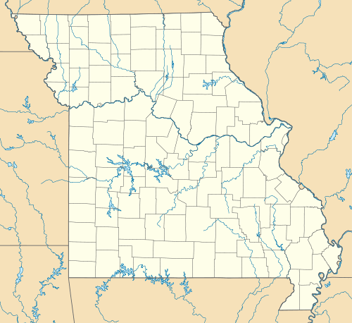
 Almartha, Missouri Location of Almartha, Missouri | |
| Coordinates: 36°45′51″N 92°31′2″W / 36.76417°N 92.51722°WCoordinates: 36°45′51″N 92°31′2″W / 36.76417°N 92.51722°W[1] | |
| Country | U. S. A. |
| State | Missouri |
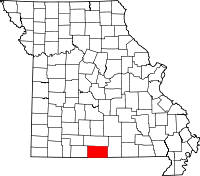
| County | Ozark County |
| Elevation[1] | 284 m (932 ft) |
| Time zone | CST (UTC-6) |
| • Summer (DST) | CDT (UTC-5) |
Almartha is an unincorporated community in northern Ozark County, Missouri.[2] It is located about thirteen miles north of Gainesville and four miles southeast of Wasola on Route 95. The village is located in a valley on a tributary of Spring Creek.[1] Several homes are located there. The old mill and current fish hatchery of Rockbridge lies downstream on Spring Creek about six miles to the east.[3]
A post office called Almartha was established in 1855, and remained in operation until 1969.[4] The community was named from the first names of early settlers Albert and Martha McSpadden.[5]
References
- 1 2 3 Wasola, Missouri, 7.5 Minute Topographic Quadrangle, USGS, 2004
- ↑ U.S. Geological Survey Geographic Names Information System: Almartha, Missouri
- ↑ Rockbridge, Missouri, 7.5 Minute Topographic Quadrangle, USGS, 1973
- ↑ "Post Offices". Jim Forte Postal History. Retrieved 27 November 2016.
- ↑ "Ozark County Place Names, 1928–1945". The State Historical Society of Missouri. Archived from the original on June 24, 2016. Retrieved November 27, 2016.
This article is issued from Wikipedia - version of the 11/27/2016. The text is available under the Creative Commons Attribution/Share Alike but additional terms may apply for the media files.
