Brevoort Island
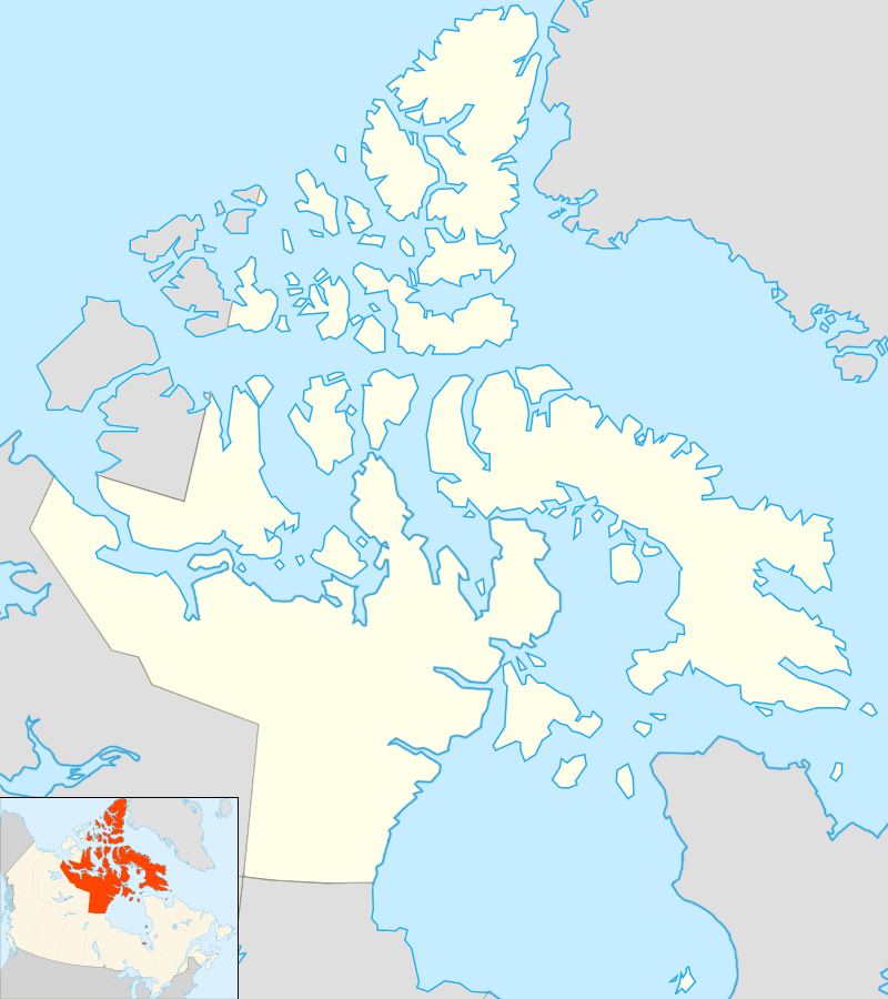 Brevoort Island Location in Canada | |
| Geography | |
|---|---|
| Location | Northern Canada |
| Coordinates | 63°30′N 64°20′W / 63.500°N 64.333°WCoordinates: 63°30′N 64°20′W / 63.500°N 64.333°W |
| Archipelago | Canadian Arctic Archipelago |
| Area | 271 km2 (105 sq mi) |
| Administration | |
|
Canada | |
| Territory | Nunavut |
| Region | Qikiqtaaluk |
| Demographics | |
| Population | Uninhabited |
Brevoort Island is a small, uninhabited island located in the Labrador Sea off the eastern coast of Baffin Island in the Qikiqtaaluk Region of northern Canada's territory of Nunavut. The island is a member of the Canadian Arctic Archipelago and lies north of Cape Murchison, opposite the Cumberland Peninsula.
Geography
Brevoort Island, with an area of 271 km2 (105 sq mi), is 46 km (29 mi) in length, and 5–7 km (3.1–4.3 mi) in width. It has a hilly interior, mostly composed of granite.[1]
Military use
The island was the home of BAF-3, a Distant Early Warning Line and now a North Warning System site. It has a non-radar, rearward communications (relay) station.[2]
References
- ↑ "Brevoort Island". oceandots.com. Archived from the original on December 23, 2010. Retrieved 2008-04-13.
- ↑ "Brevoort Island, Nunavut". lswilson.ca. Retrieved 2008-04-13.
External links
.jpg)
This article is issued from Wikipedia - version of the 11/27/2016. The text is available under the Creative Commons Attribution/Share Alike but additional terms may apply for the media files.